Transport Functions
Multimodal
Hub Profile
Place type
Regional capital
Region
Astara
Population
15,190
Time zone
Asia/Baku
Elevation
-22 m
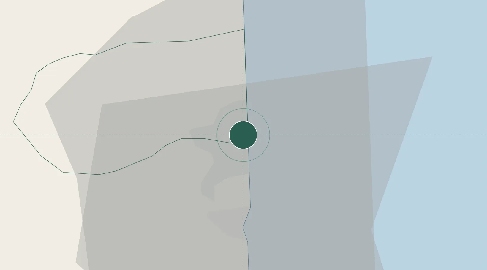
Location
Nearby Logistics Neighbours
Cities
- 1Bandar-e Anzali121 km
- 2Shirvan163 km
- 3Alat173 km
- 4Quba195 km
- 5Zanjan201 km
Ports
- 1Batumi710 km
- 2Hopa717 km
- 3Supsa Marine Terminal729 km
- 4Rize770 km
- 5Trabzon828 km
Airports
- 1Lankaran International Airport35 km
- 2Ardabil Airport41 km
- 3Qizilagach Air Base62 km
- 4Sardar-e-Jangal Airport142 km
- 5Parsabad-Moghan Airport154 km
Trade Zones
DatabookThe Record of Consolidated Knowledge
Azerbaijan beyond logistics?