Medium airport · Iran
Urmia AirportOITR
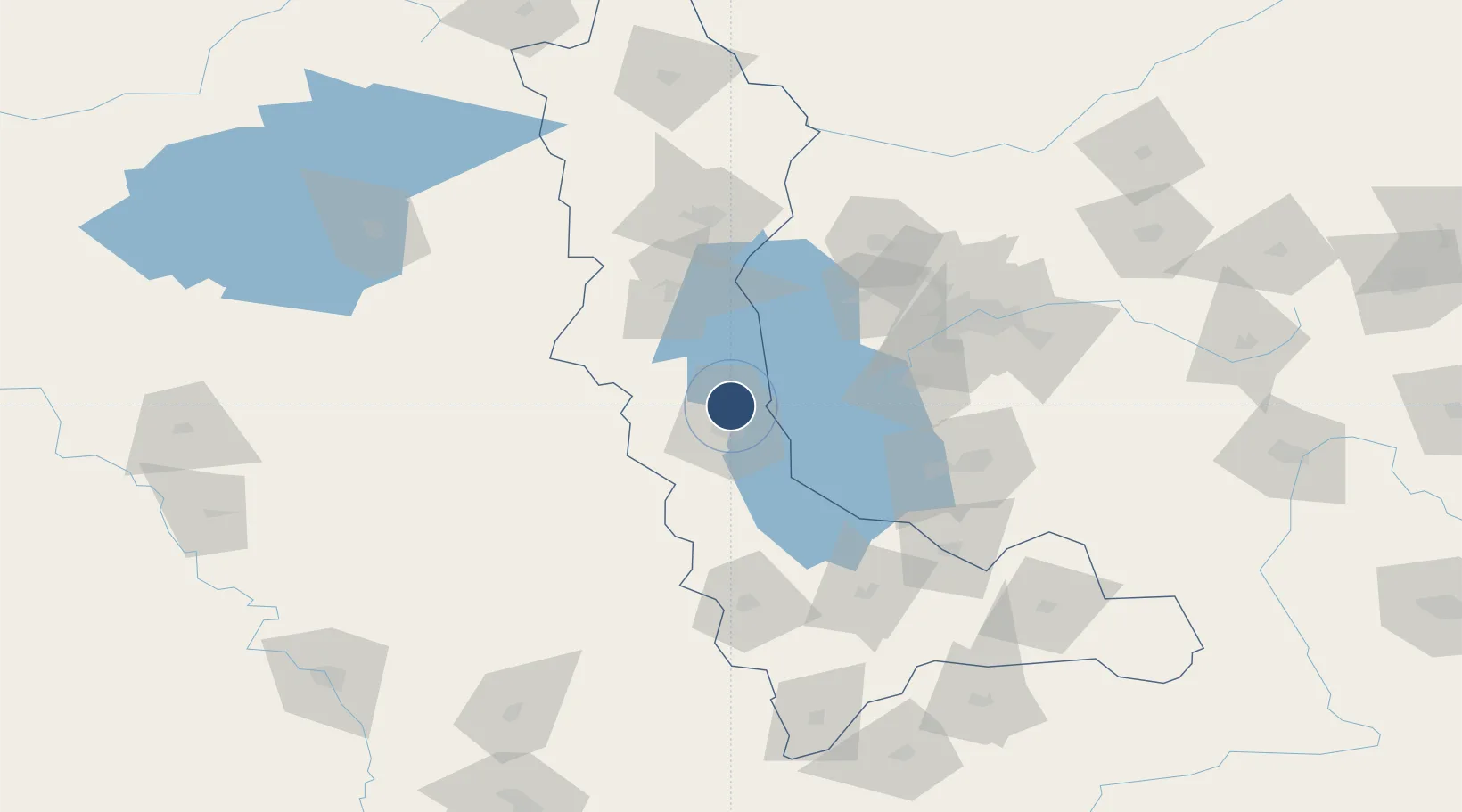
37.6681°, 45.0687°
10,658 ft
Longest runway
1
Runways
4,343 ft
Elevation
Runway & Layout

Radio Frequencies
ATIS
127.25 MHz
TWR
118.25 MHz
Navaids
UMH VOR-DME Uromiyeh 113.50 MHz
UMH NDB Uromiyeh 370 kHz
Runways · 1
| Runway | Dimensions | Surface | True heading | Lit |
|---|---|---|---|---|
| 03/21 | 10,658 × 148ft | Asphalt | 033° | ✓ |
Airport Specifications
IATA code
OMH
ICAO code
OITR
Airport class
Medium airport
Scheduled service
Yes
Runway surface
Asphalt
Served city
Urmia
Location
Nearby Logistics Neighbours
Airports
- 1Hakkari Yüksekova Airport74 km
- 2Tabriz International Airport115 km
- 3Maku National Airport170 km
- 4Nakhchivan International Airport173 km
- 5Van Ferit Melen Airport176 km
Cities
- 1Khosrowshahr93 km
- 2Piran Shahr110 km
- 3Kapiköy114 km
- 4Emek140 km
- 5Jolfa148 km
Ports
- 1Hopa522 km
- 2Batumi531 km
- 3Rize544 km
- 4Supsa Marine Terminal570 km
- 5Trabzon589 km
Trade Zones
DatabookThe Record of Consolidated Knowledge
Iran beyond logistics?