Transport Functions
Port
Road
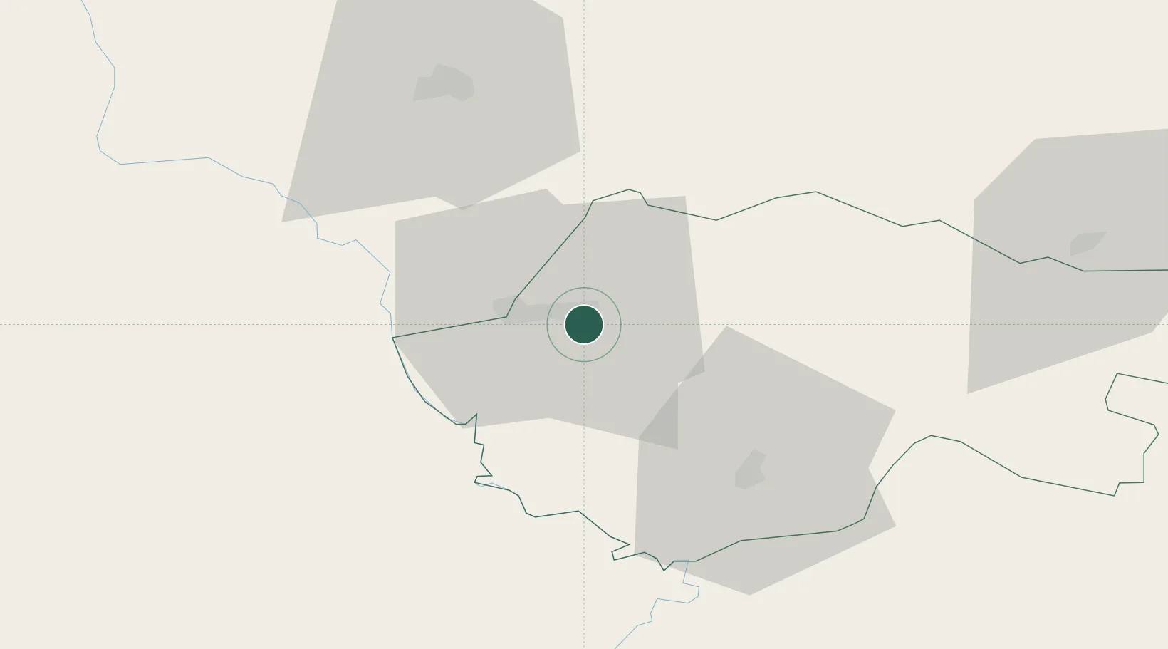
Location
Nearby Logistics Neighbours
Cities
- 1Mosul (Ak Mawsil)108 km
- 2Poliport111 km
- 3Nusaybin132 km
- 4Irbil150 km
- 5Arbil157 km
Ports
- 1Rize476 km
- 2Hopa489 km
- 3Trabzon501 km
- 4Batumi510 km
- 5Supsa Marine Terminal559 km
Airports
- 1Şırnak Şerafettin Elçi Airport62 km
- 2Tall Afar Army Air Field98 km
- 3Mosul International Airport100 km
- 4Siirt Airport121 km
- 5Qamishli International Airport134 km
Trade Zones
DatabookThe Record of Consolidated Knowledge
Iraq beyond logistics?