Medium airport · Iraq
Qayyarah West AirportORQW
35.7672°, 43.1251°
11,486 ft
Longest runway
1
Runways
749 ft
Elevation
Runway & Layout

Radio Frequencies
TWR
122.2 MHz
CTAF
122 MHz
PMSV
33.6 MHz
METRO
POST
122 MHz
COMD POST
Navaids
QYW TACAN Qayyarah West 112.50 MHz
Runways · 1
| Runway | Dimensions | Surface | True heading | Lit |
|---|---|---|---|---|
| 15/33 | 11,486 × 197ft | Concrete | 152° | — |
Airport Specifications
IATA code
RQW
ICAO code
ORQW
Airport class
Medium airport
Scheduled service
No
Runway surface
Concrete
Served city
Qayyarah
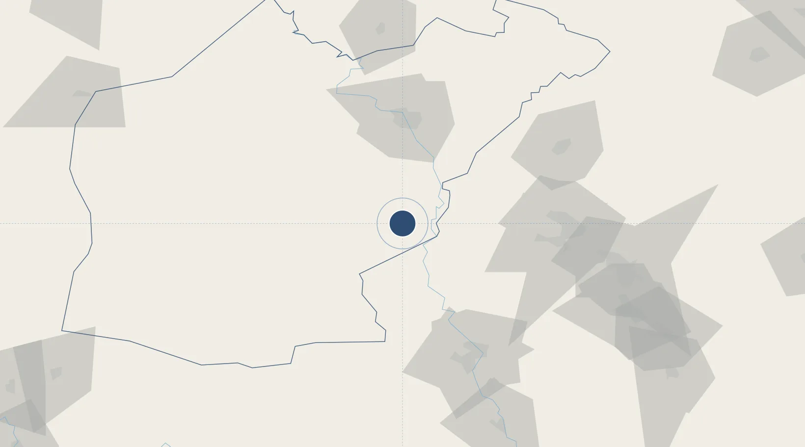
Location
Nearby Logistics Neighbours
Airports
- 1Mosul International Airport60 km
- 2Tall Afar Army Air Field87 km
- 3Sahl Sinjar Air Base89 km
- 4Erbil International Airport90 km
- 5Tal Ashtah New Air Base115 km
Cities
- 1Mosul (Ak Mawsil)66 km
- 2Arbil91 km
- 3Irbil94 km
- 4Zakho157 km
- 5Samarra'187 km
Ports
- 1Iskenderun631 km
- 2Yakacik631 km
- 3Rize632 km
- 4Hopa646 km
- 5Trabzon653 km
Trade Zones
- 1Al Yarubiyah Free Zone151 km
- 2Baneh Special Economic Zone253 km
- 3West Islamabad Special Economic Zone253 km
- 4Qasr-e-Shirin Special Economic Zone263 km
- 5Mardin Free Zone277 km
DatabookThe Record of Consolidated Knowledge
Iraq beyond logistics?