Large airport · Iraq
Mosul International AirportORBM
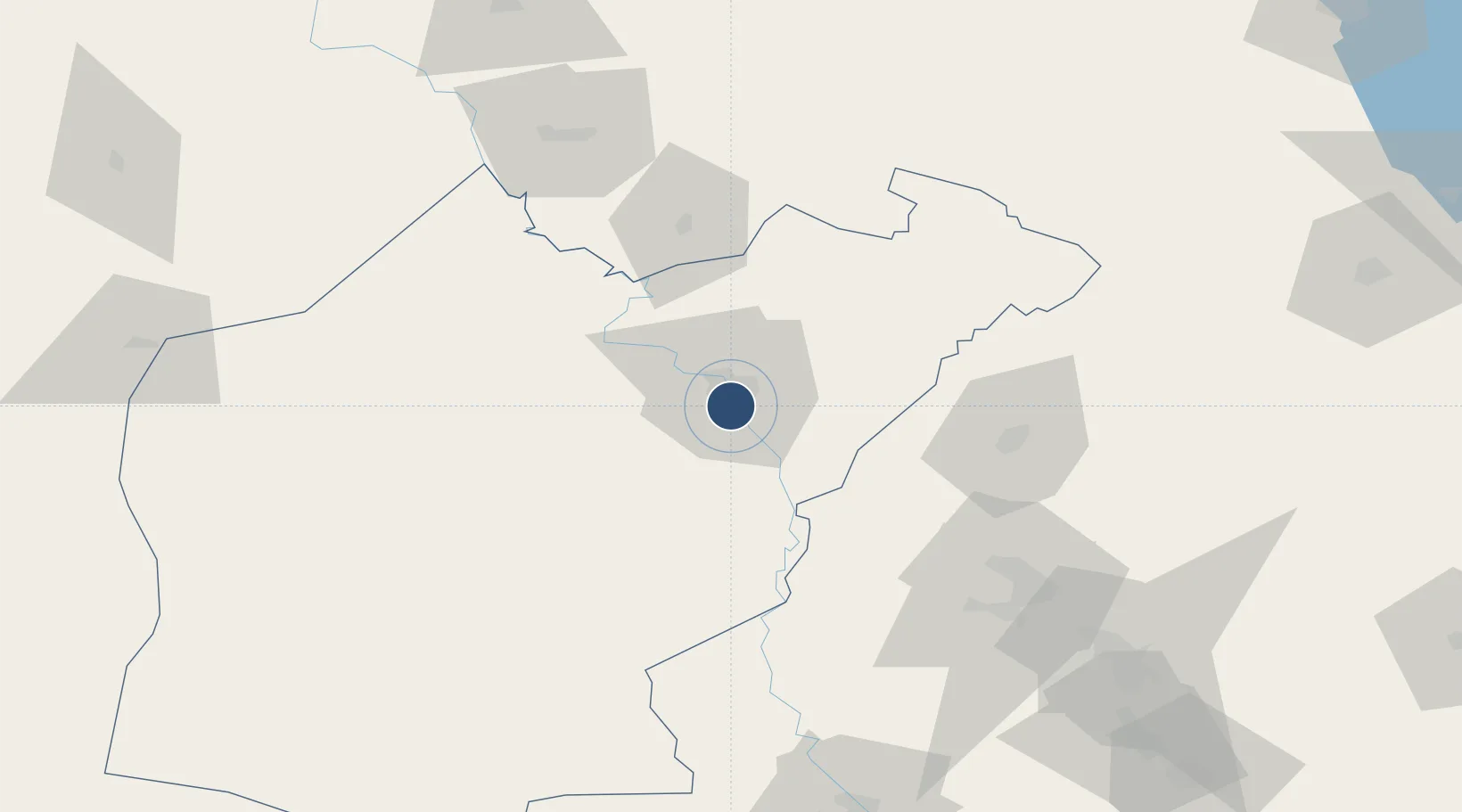
36.3058°, 43.1474°
8,695 ft
Longest runway
1
Runways
719 ft
Elevation
Runway & Layout

Radio Frequencies
ATIS
127.25 MHz
INFO
TWR
120.2 MHz
GND
132.825 MHz
APP
119.45 MHz
HEL
65.1 MHz
FARP
PMSV
131.05 MHz
METRO
RMP
128.8 MHz
RAMP OPS
Runways · 1
| Runway | Dimensions | Surface | True heading | Lit |
|---|---|---|---|---|
| 15/33 | 8,695 × 147ft | Concrete | 158° | ✓ |
Airport Specifications
IATA code
OSM
ICAO code
ORBM
Airport class
Large airport
Scheduled service
No
Runway surface
Concrete
Served city
Mosul
Location
Nearby Logistics Neighbours
Airports
- 1Qayyarah West Airport60 km
- 2Tall Afar Army Air Field67 km
- 3Erbil International Airport72 km
- 4Sahl Sinjar Air Base103 km
- 5Kirkuk International Airport143 km
Cities
- 1Mosul (Ak Mawsil)53 km
- 2Irbil75 km
- 3Arbil78 km
- 4Zakho100 km
- 5Piran Shahr182 km
Trade Zones
- 1Al Yarubiyah Free Zone113 km
- 2West Islamabad Special Economic Zone217 km
- 3Mardin Free Zone246 km
- 4Baneh Special Economic Zone250 km
- 5Salmas Special Economic Zone253 km
DatabookThe Record of Consolidated Knowledge
Iraq beyond logistics?