UN/LOCODE hub · India
INKJM

Bd Sez/Bangalore

12.8500°, 77.6333°
1
Transport functions

Transport Functions

Multimodal
UN/LOCODE

Hub Profile

Region
KA
GeoNames

Location

Location of INKJM
Natural Earth 10m (public domain) · KA · INKJM · 12.85, 77.63GoogleOSMYandex

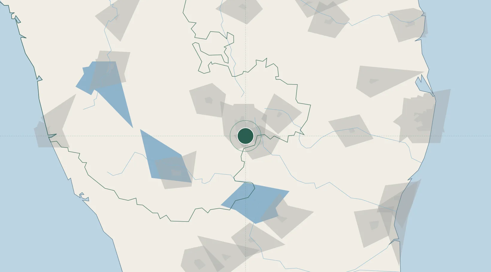
Nearby Logistics Neighbours

Cities
  1. 1Apllp Sez/Bangalore4 km
  2. 2Sdpl Sez/Bangalore9 km
  3. 3Kbits-SEZ/Bangalore16 km
  4. 4GOCL SEZ/Bangalore16 km
  5. 5Biocon-SEZ/Bangalore16 km
Nearest neighbours — logibook spatial index (haversine) over the source coordinates
Ports
  1. 1Pondicherry260 km
  2. 2Cuddalore264 km
  3. 3Calicut (Kozhikode)270 km
  4. 4Azhikal (Azhikkal)272 km
  5. 5Beypore274 km
Nearest neighbours — logibook spatial index (haversine) over the source coordinates
Airports
  1. 1HAL Airport12 km
  2. 2Jakkur Aerodrome26 km
  3. 3Kempegowda International Airport Bengaluru40 km
  4. 4Mysore Airport127 km
  5. 5Salem Airport128 km
Nearest neighbours — logibook spatial index (haversine) over the source coordinates
Trade Zones
  1. 1Velankani Technology Parks Pvt. Ltd.3 km
  2. 2Wipro Limited (Electronic City)3 km
  3. 3M s. Opto Infrastructure Limited4 km
  4. 4Biocon Special Economic Zone5 km
  5. 5Hcl Technologies Ltd.7 km
Nearest neighbours — logibook spatial index (haversine) over the source coordinates
DatabookThe Record of Consolidated Knowledge
India beyond logistics?
Browse databook

All Sources

LocationsUN/LOCODE
UN/LOCODE — free
Portsthe NGA World Port Index
Public domain (US gov)
AirportsOurAirports
Public domain
Trade Zonesthe World Bank SEZ database
CC BY 4.0
Trade ZonesOpen Zone Map
CC BY
← India locations