UN/LOCODE hub · India
INURF

FAB City SPV-SEZ/Srinagar&Raviryal

17.8333°, 78.7167°
1
Transport functions

Transport Functions

Multimodal
UN/LOCODE

Hub Profile

Region
AP
GeoNames

Location

Location of INURF
Natural Earth 10m (public domain) · AP · INURF · 17.83, 78.72GoogleOSMYandex

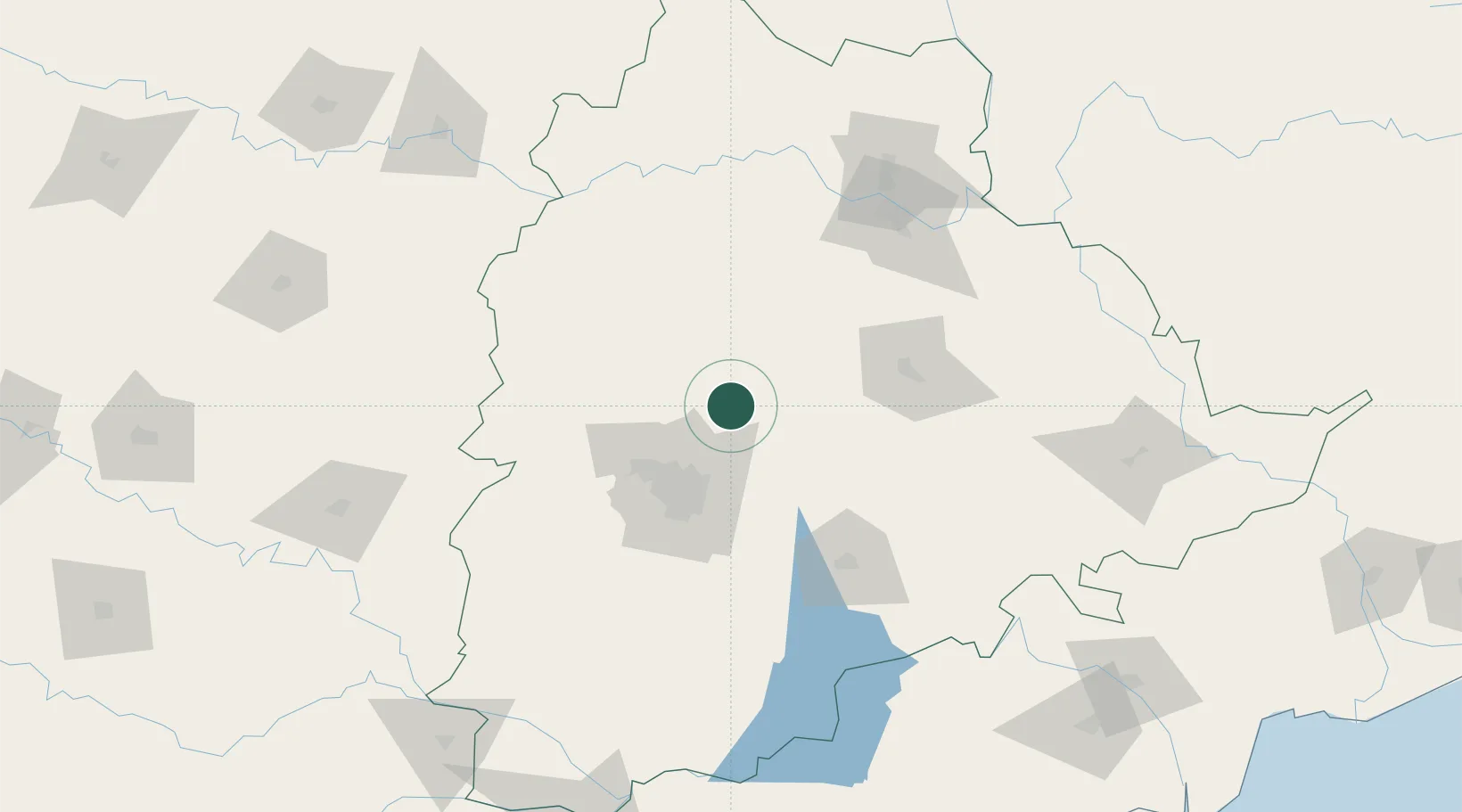
Nearby Logistics Neighbours

Cities
  1. 1APIIC-SEZ/Lalgadi0 km
  2. 2GMR Hyderabad Aviation-SEZ/Mamidipally0 km
  3. 3Raidurg19 km
  4. 4Hyderabad52 km
  5. 5Santa-SEZ/Muppireddipally53 km
Nearest neighbours — logibook spatial index (haversine) over the source coordinates
Ports
  1. 1Kakinada Bay393 km
  2. 2Kattupalli Port426 km
  3. 3Gangavaram481 km
  4. 4Vishakhapatnam486 km
  5. 5Kamarajar Port537 km
Nearest neighbours — logibook spatial index (haversine) over the source coordinates
Airports
  1. 1Dundigul Air Force Academy40 km
  2. 2Begumpet Airport50 km
  3. 3Rajiv Gandhi International Airport74 km
  4. 4Bidar Airport / Bidar Air Force Station130 km
  5. 5Kalaburagi Airport195 km
Nearest neighbours — logibook spatial index (haversine) over the source coordinates
Trade Zones
  1. 1SP Specialized Zone (Bio-Tech) Park21 km
  2. 2Tech Mahindra Limited (Satyam Computers), Bahadurpally42 km
  3. 3Infosys Tech, Pocharam44 km
  4. 4Dr. Reddys Laboratories Ltd53 km
  5. 5Apiic Ltd & L&T, Kesarapalli55 km
Nearest neighbours — logibook spatial index (haversine) over the source coordinates
DatabookThe Record of Consolidated Knowledge
India beyond logistics?
Browse databook

All Sources

LocationsUN/LOCODE
UN/LOCODE — free
Portsthe NGA World Port Index
Public domain (US gov)
AirportsOurAirports
Public domain
Trade Zonesthe World Bank SEZ database
CC BY 4.0
Trade ZonesOpen Zone Map
CC BY
← India locations