UN/LOCODE hub · India
INHOS

Hoshiarpur

31.5167°, 75.9167°
168,653
Population
1
Transport functions

Transport Functions

Multimodal
UN/LOCODE

Hub Profile

Place type
Provincial seat
GeoNames
Region
Punjab
GeoNames
Population
168,653
GeoNames
Time zone
Asia/Kolkata
GeoNames
Elevation
311 m
GeoNames
Logistics facilities
1
UN/LOCODE

Location

Location of INHOS
Natural Earth 10m (public domain) · Punjab · INHOS · 31.52, 75.92GoogleOSMYandex

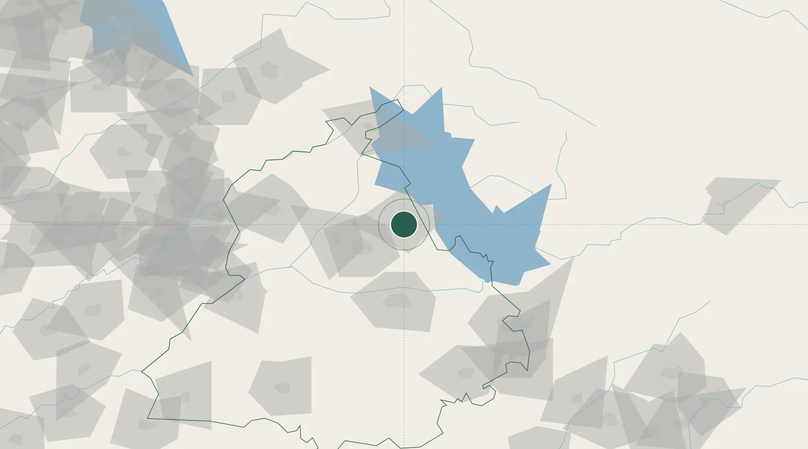
Nearby Logistics Neighbours

Cities
  1. 1Una35 km
  2. 2Talwara47 km
  3. 3Anandpur Sahib63 km
  4. 4Ludhiana73 km
  5. 5PSWC ICD/Dhandari Kalan74 km
Nearest neighbours — logibook spatial index (haversine) over the source coordinates
Ports
  1. 1Navlakhi1094 km
  2. 2Kandla1098 km
  3. 3Muhamamad Bin Qasim1126 km
  4. 4Dahej1142 km
  5. 5Bhavnagar1144 km
Nearest neighbours — logibook spatial index (haversine) over the source coordinates
Airports
  1. 1Adampur Airport18 km
  2. 2Ludhiana Airport74 km
  3. 3Kangra Airport79 km
  4. 4Pathankot Airport84 km
  5. 5Halwara International Airport90 km
Nearest neighbours — logibook spatial index (haversine) over the source coordinates
Trade Zones
  1. 1Quarkcity India Pvt. Ltd.117 km
  2. 2Rajeev Gandhi Technology Park, Phase-2, Chandigarh123 km
  3. 3Rajiv Gandhi Technology Park, Phase-1 Chandigarh123 km
  4. 4Rachna Industrial Park171 km
  5. 5Sialkot Export Processing Zone184 km
Nearest neighbours — logibook spatial index (haversine) over the source coordinates
DatabookThe Record of Consolidated Knowledge
India beyond logistics?
Browse databook

All Sources

LocationsUN/LOCODE
UN/LOCODE — free
LocationsGeoNames
CC BY 4.0
Portsthe NGA World Port Index
Public domain (US gov)
AirportsOurAirports
Public domain
Trade Zonesthe World Bank SEZ database
CC BY 4.0
Trade ZonesOpen Zone Map
CC BY
← India locations