UN/LOCODE hub · India
INTRV
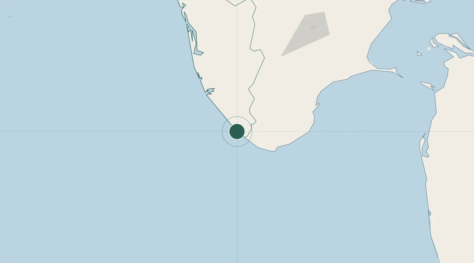
Thiruvananthapuram (ex Trivandrum)
8.3692°, 76.9969°
4
Transport functions
1
Container terminals
Transport Functions
Port
Rail
Road
Airport
Hub Profile
Region
KL
Logistics facilities
1
Container terminals
1
Location
Nearby Logistics Neighbours
Cities
- 1Vizhinjam2 km
- 2Kinfraa-SEZ/Thiruvananthapuram16 km
- 3Nagercoil53 km
- 4HVCPL SEZ/KADAYAM63 km
- 5Amrlitcl-SEZ/Nanguneri75 km
Ports
- 1Quilon (Kollam)72 km
- 2Tuticorin137 km
- 3Kochi (Cochin)196 km
- 4Beypore338 km
- 5Calicut (Kozhikode)348 km
Airports
- 1Thiruvananthapuram International Airport15 km
- 2Tuticorin Airport120 km
- 3Madurai Airport203 km
- 4Cochin International Airport209 km
- 5Coimbatore International Airport296 km
DatabookThe Record of Consolidated Knowledge
India beyond logistics?