Transport Functions
Multimodal
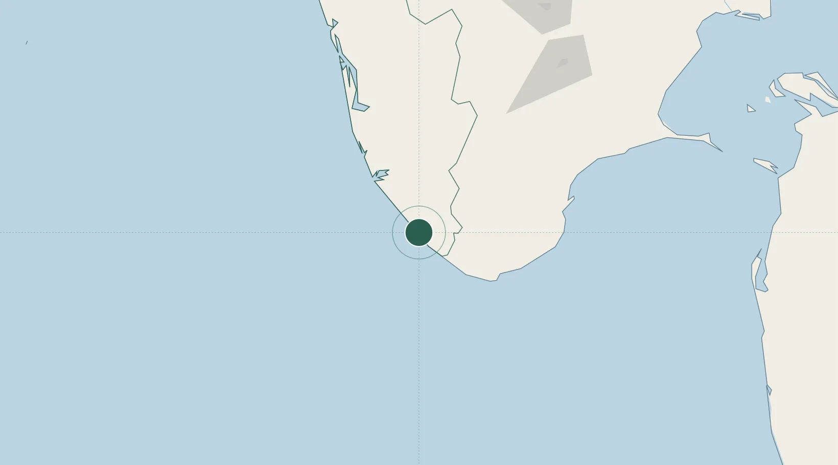
Hub Profile
Region
KL
Location
Nearby Logistics Neighbours
Cities
- 1Vizhinjam14 km
- 2Thiruvananthapuram (ex Trivandrum)16 km
- 3HVCPL SEZ/KADAYAM65 km
- 4Nindakara65 km
- 5Nagercoil67 km
Ports
- 1Trivandrum4 km
- 2Quilon (Kollam)57 km
- 3Tuticorin142 km
- 4Kochi (Cochin)181 km
- 5Beypore323 km
Airports
- 1Thiruvananthapuram International Airport0 km
- 2Tuticorin Airport125 km
- 3Cochin International Airport194 km
- 4Madurai Airport198 km
- 5Coimbatore International Airport284 km
DatabookThe Record of Consolidated Knowledge
India beyond logistics?