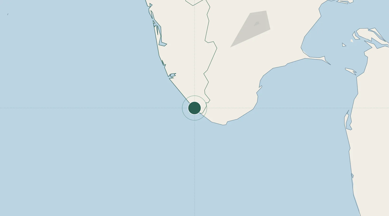
UN/LOCODE hub · India
INVZJ

Vizhinjam

8.3833°, 77.0000°
1
Transport functions

Transport Functions

Port
UN/LOCODE

Hub Profile

Place type
Populated place
GeoNames
Region
Kerala
GeoNames
Time zone
Asia/Kolkata
GeoNames
Elevation
43 m
GeoNames

Location

Location of INVZJ
Natural Earth 10m (public domain) · Kerala · INVZJ · 8.38, 77.00GoogleOSMYandex

Nearby Logistics Neighbours

Cities
  1. 1Thiruvananthapuram (ex Trivandrum)2 km
  2. 2Kinfraa-SEZ/Thiruvananthapuram14 km
  3. 3Nagercoil53 km
  4. 4HVCPL SEZ/KADAYAM62 km
  5. 5Amrlitcl-SEZ/Nanguneri74 km
Nearest neighbours — logibook spatial index (haversine) over the source coordinates
Ports
  1. 1Trivandrum12 km
  2. 2Quilon (Kollam)71 km
  3. 3Tuticorin136 km
  4. 4Kochi (Cochin)195 km
  5. 5Beypore336 km
Nearest neighbours — logibook spatial index (haversine) over the source coordinates
Airports
  1. 1Thiruvananthapuram International Airport14 km
  2. 2Tuticorin Airport119 km
  3. 3Madurai Airport201 km
  4. 4Cochin International Airport207 km
  5. 5Coimbatore International Airport294 km
Nearest neighbours — logibook spatial index (haversine) over the source coordinates
DatabookThe Record of Consolidated Knowledge
India beyond logistics?
Browse databook

All Sources

LocationsUN/LOCODE
UN/LOCODE — free
Portsthe NGA World Port Index
Public domain (US gov)
AirportsOurAirports
Public domain
Trade Zonesthe World Bank SEZ database
CC BY 4.0
Trade ZonesOpen Zone Map
CC BY
← India locations