UN/LOCODE hub · India
INTSI

HVCPL SEZ/KADAYAM

8.7000°, 77.4667°
1
Transport functions

Transport Functions

Multimodal
UN/LOCODE

Hub Profile

Region
TN
GeoNames

Location

Location of INTSI
Natural Earth 10m (public domain) · TN · INTSI · 8.70, 77.47GoogleOSMYandex

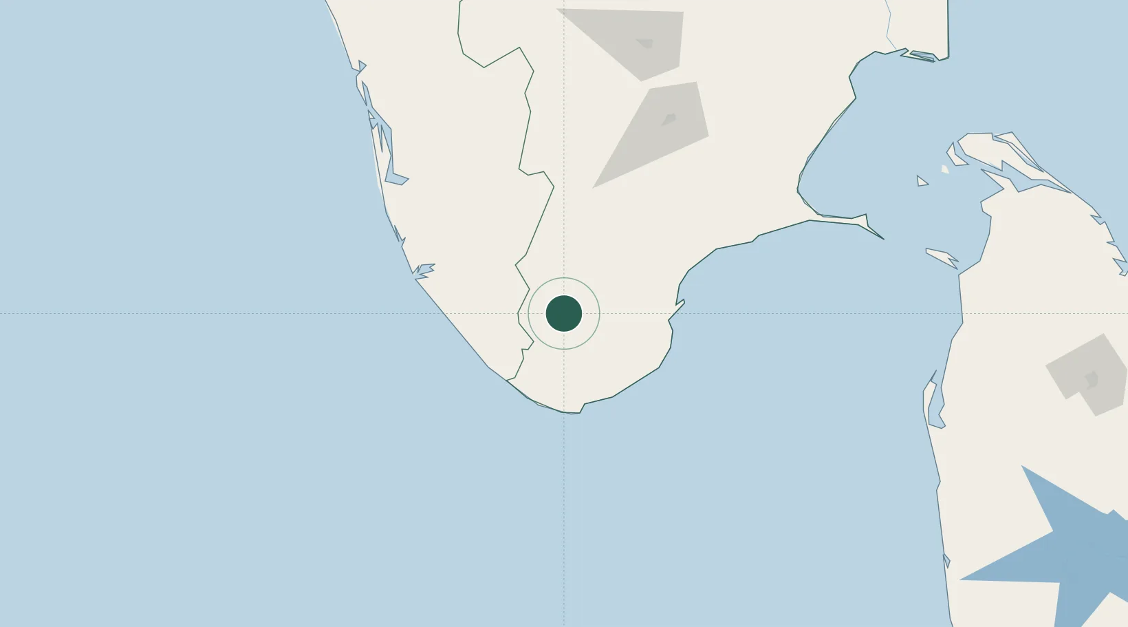
Nearby Logistics Neighbours

Cities
  1. 1ECTNL SEZ/Gangaikondan26 km
  2. 2VVM SEZ/Tirunelveli26 km
  3. 3Amrlitcl-SEZ/Nanguneri33 km
  4. 4Nagercoil59 km
  5. 5Vizhinjam62 km
Nearest neighbours — logibook spatial index (haversine) over the source coordinates
Ports
  1. 1Trivandrum62 km
  2. 2Tuticorin78 km
  3. 3Quilon (Kollam)99 km
  4. 4Kochi (Cochin)195 km
  5. 5Kankesanturai310 km
Nearest neighbours — logibook spatial index (haversine) over the source coordinates
Airports
  1. 1Tuticorin Airport62 km
  2. 2Thiruvananthapuram International Airport65 km
  3. 3Madurai Airport144 km
  4. 4Cochin International Airport199 km
  5. 5Coimbatore International Airport263 km
Nearest neighbours — logibook spatial index (haversine) over the source coordinates
DatabookThe Record of Consolidated Knowledge
India beyond logistics?
Browse databook

All Sources

LocationsUN/LOCODE
UN/LOCODE — free
Portsthe NGA World Port Index
Public domain (US gov)
AirportsOurAirports
Public domain
Trade Zonesthe World Bank SEZ database
CC BY 4.0
Trade ZonesOpen Zone Map
CC BY
← India locations