Large airport · India

Cochin International AirportVOCI
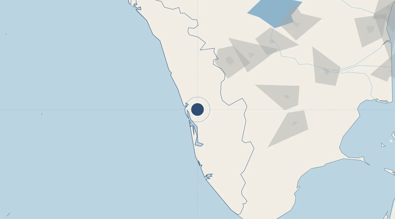
10.1510°, 76.4008°
11,155 ft
Longest runway
1
Runways
30 ft
Elevation

Runway & Layout

Cochin International Airport runway & taxiway layout
Runway & taxiway layout — OpenStreetMap (ODbL) / OurAirports

Radio Frequencies

ATIS
126.2 MHz
TWR
118.8 MHz
GND
121.75 MHz
APP
119.75 MHz
OurAirports

Navaids

CA NDB Cochin Intl 268 kHz
CA NDB Kolkata 293 kHz
CI NDB Cochin Intl 217 kHz
CIA VOR-DME Cochin Intl 113.50 MHz
CIB VOR-DME Cochin Intl 117.30 MHz
OurAirports

Runways · 1

RunwayDimensions SurfaceTrue headingLit
09/27 11,155 × 148ft Asphalt 088°
OurAirports

Airport Specifications

IATA code
COK
OurAirports
ICAO code
VOCI
OurAirports
Airport class
Large airport
OurAirports
Scheduled service
Yes
OurAirports
Runway surface
Asphalt
OurAirports
Served city
Kochi
OurAirports

Location

Location of VOCI
Natural Earth 10m (public domain) · Kerala · VOCI · 10.15, 76.40GoogleOSMYandex

Nearby Logistics Neighbours

Airports
  1. 1Calicut International Airport120 km
  2. 2Coimbatore International Airport120 km
  3. 3Madurai Airport189 km
  4. 4Thiruvananthapuram International Airport194 km
  5. 5Kannur International Airport217 km
Nearest neighbours — logibook spatial index (haversine) over the source coordinates
Cities
  1. 1Ernakulam13 km
  2. 2Kakkanad20 km
  3. 3Cochin22 km
  4. 4Puthuvypeen-SEZ/Ernakulam23 km
  5. 5Vallarpadom-SEZ/Ernakulam23 km
Nearest neighbours — logibook spatial index (haversine) over the source coordinates
Ports
  1. 1Kochi (Cochin)28 km
  2. 2Beypore131 km
  3. 3Calicut (Kozhikode)141 km
  4. 4Quilon (Kollam)144 km
  5. 5Trivandrum195 km
Nearest neighbours — logibook spatial index (haversine) over the source coordinates
Trade Zones
  1. 1Carborundum Universal Ltd15 km
  2. 2M s. Smart City (Kochi) Infrastructure Limited16 km
  3. 3Infopark Kochi17 km
  4. 4Cochin Special Economic Zone18 km
  5. 5Sutherland Global Services Pvt Ltd18 km
Nearest neighbours — logibook spatial index (haversine) over the source coordinates
DatabookThe Record of Consolidated Knowledge
India beyond logistics?
Browse databook

All Sources

AirportsOurAirports
Public domain
Portsthe NGA World Port Index
Public domain (US gov)
LocationsUN/LOCODE
UN/LOCODE — free
Trade Zonesthe World Bank SEZ database
CC BY 4.0
Trade ZonesOpen Zone Map
CC BY
InfrastructureOpenStreetMap
ODbL 1.0
← India airports