Specialized Zone · India
Kerala Industrial Infrastructure Development Corporation (Kinfra) Active
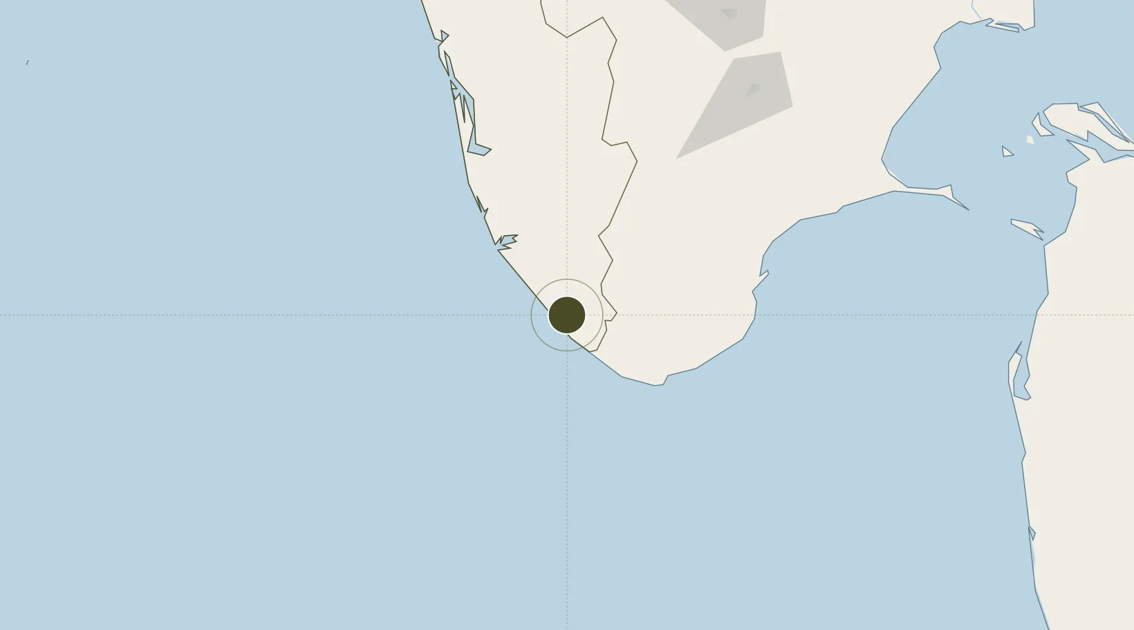
8.5121°, 76.9709°
12 ha
Zone area
3.9 km
Nearest port
6.5 km
Nearest airport
Gateway access
Zone profile
Zone type
Specialized Zone
Specialization
Manufacturing
Region
Kerala
Status
Active
Management
Public-Private Partnership
Operator
Statutory Body of Govt of Kerala
Legal framework
Kerala Special Economic Zone Policy of 2008
Location
Nearby Logistics Neighbours
Ports
- 1Trivandrum4 km
- 2Quilon (Kollam)58 km
- 3Tuticorin135 km
- 4Kochi (Cochin)181 km
- 5Beypore322 km
Airports
- 1Thiruvananthapuram International Airport7 km
- 2Tuticorin Airport118 km
- 3Madurai Airport192 km
- 4Cochin International Airport193 km
- 5Coimbatore International Airport280 km
Cities
- 1Kinfraa-SEZ/Thiruvananthapuram7 km
- 2Vizhinjam15 km
- 3Thiruvananthapuram (ex Trivandrum)16 km
- 4HVCPL SEZ/KADAYAM58 km
- 5Nagercoil64 km
DatabookThe Record of Consolidated Knowledge
India beyond logistics?