Medium airport · India
Madurai AirportVOMD
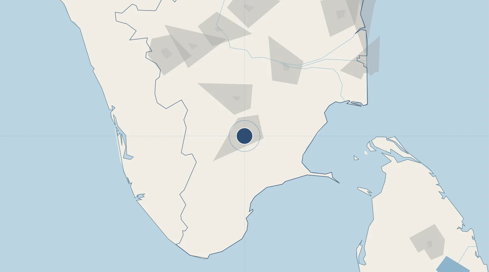
9.8345°, 78.0934°
5,990 ft
Longest runway
1
Runways
459 ft
Elevation
Runway & Layout

Radio Frequencies
TWR
122.8 MHz
APP
122.8 MHz
Navaids
MD NDB Madurai 400 kHz
MDI VOR-DME Madurai 116.10 MHz
Runways · 1
| Runway | Dimensions | Surface | True heading | Lit |
|---|---|---|---|---|
| 09/27 | 5,990 × 148ft | Asphalt | 086° | ✓ |
Airport Specifications
IATA code
IXM
ICAO code
VOMD
Airport class
Medium airport
Scheduled service
Yes
Runway surface
Asphalt
Served city
Madurai
Location
Nearby Logistics Neighbours
Airports
Cities
- 1Madurai5 km
- 2Kern Icd/Madurai9 km
- 3ECTN SEZ/Madurai-II11 km
- 4RTPL SEZ/Madurai11 km
- 5ECTN SEZ/Madurai-I11 km
Ports
- 1Tuticorin115 km
- 2Trivandrum196 km
- 3Quilon (Kollam)197 km
- 4Kochi (Cochin)204 km
- 5Kankesanturai214 km
Trade Zones
- 1AMRL International Tech City Ltd.161 km
- 2Span Ventures172 km
- 3Rathinam Techzone173 km
- 4Aspen Karumathamapatti Special Economic Zone (Formerly Aspen)176 km
- 5Infopark Kochi190 km
DatabookThe Record of Consolidated Knowledge
India beyond logistics?