UN/LOCODE hub · India
INNNN

Amrlitcl-SEZ/Nanguneri

8.4833°, 77.6667°
1
Transport functions

Transport Functions

Multimodal
UN/LOCODE

Hub Profile

Region
TN
GeoNames

Location

Location of INNNN
Natural Earth 10m (public domain) · TN · INNNN · 8.48, 77.67GoogleOSMYandex

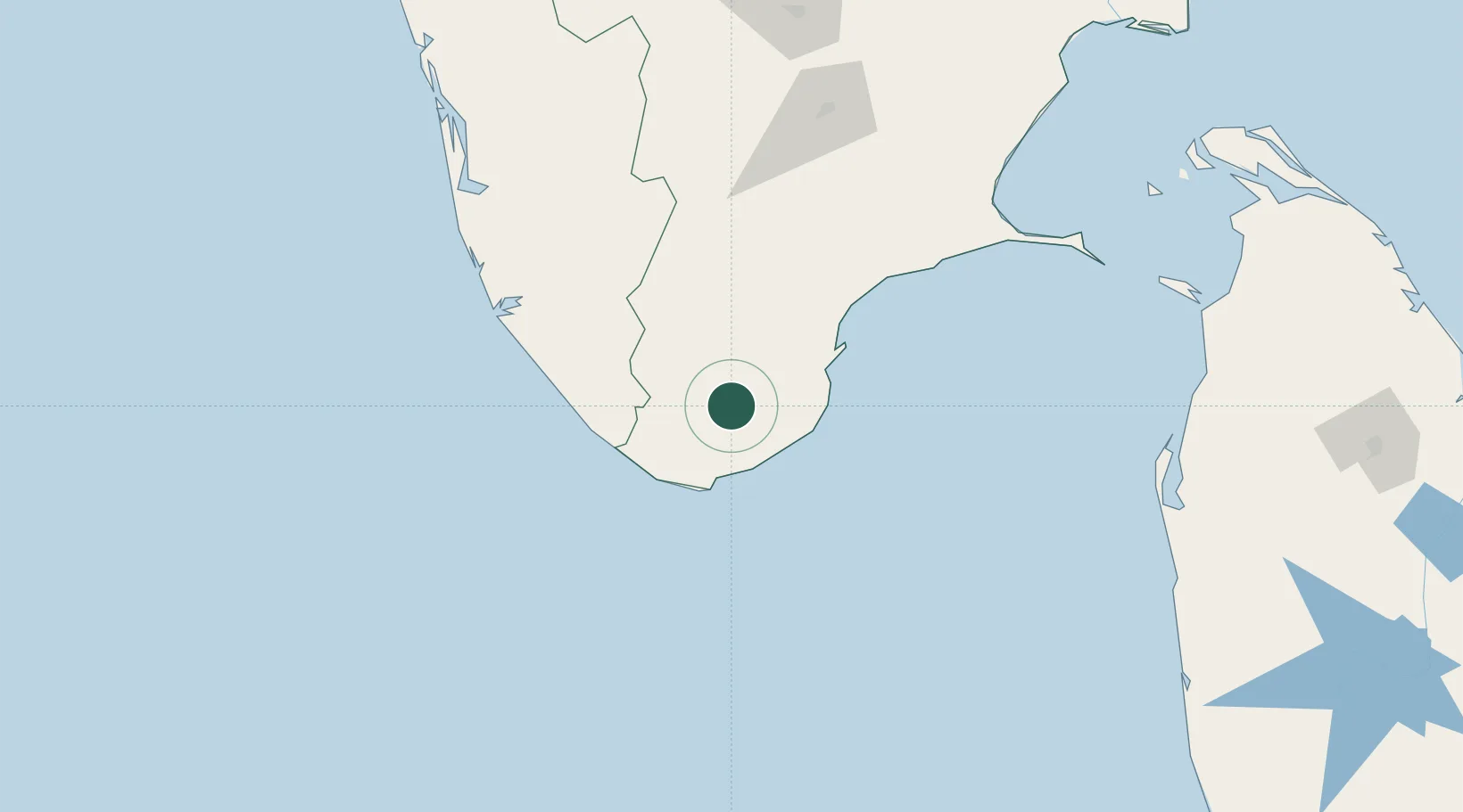
Nearby Logistics Neighbours

Cities
  1. 1ECTNL SEZ/Gangaikondan28 km
  2. 2VVM SEZ/Tirunelveli28 km
  3. 3HVCPL SEZ/KADAYAM33 km
  4. 4Nagercoil44 km
  5. 5Tuticorin60 km
Nearest neighbours — logibook spatial index (haversine) over the source coordinates
Ports
  1. 1Tuticorin65 km
  2. 2Trivandrum79 km
  3. 3Quilon (Kollam)127 km
  4. 4Kochi (Cochin)228 km
  5. 5Colombo295 km
Nearest neighbours — logibook spatial index (haversine) over the source coordinates
Airports
  1. 1Tuticorin Airport48 km
  2. 2Thiruvananthapuram International Airport82 km
  3. 3Madurai Airport157 km
  4. 4Cochin International Airport232 km
  5. 5Tiruchirappalli International Airport278 km
Nearest neighbours — logibook spatial index (haversine) over the source coordinates
DatabookThe Record of Consolidated Knowledge
India beyond logistics?
Browse databook

All Sources

LocationsUN/LOCODE
UN/LOCODE — free
Portsthe NGA World Port Index
Public domain (US gov)
AirportsOurAirports
Public domain
Trade Zonesthe World Bank SEZ database
CC BY 4.0
Trade ZonesOpen Zone Map
CC BY
← India locations