Small airport · India

Tuticorin AirportVOTK
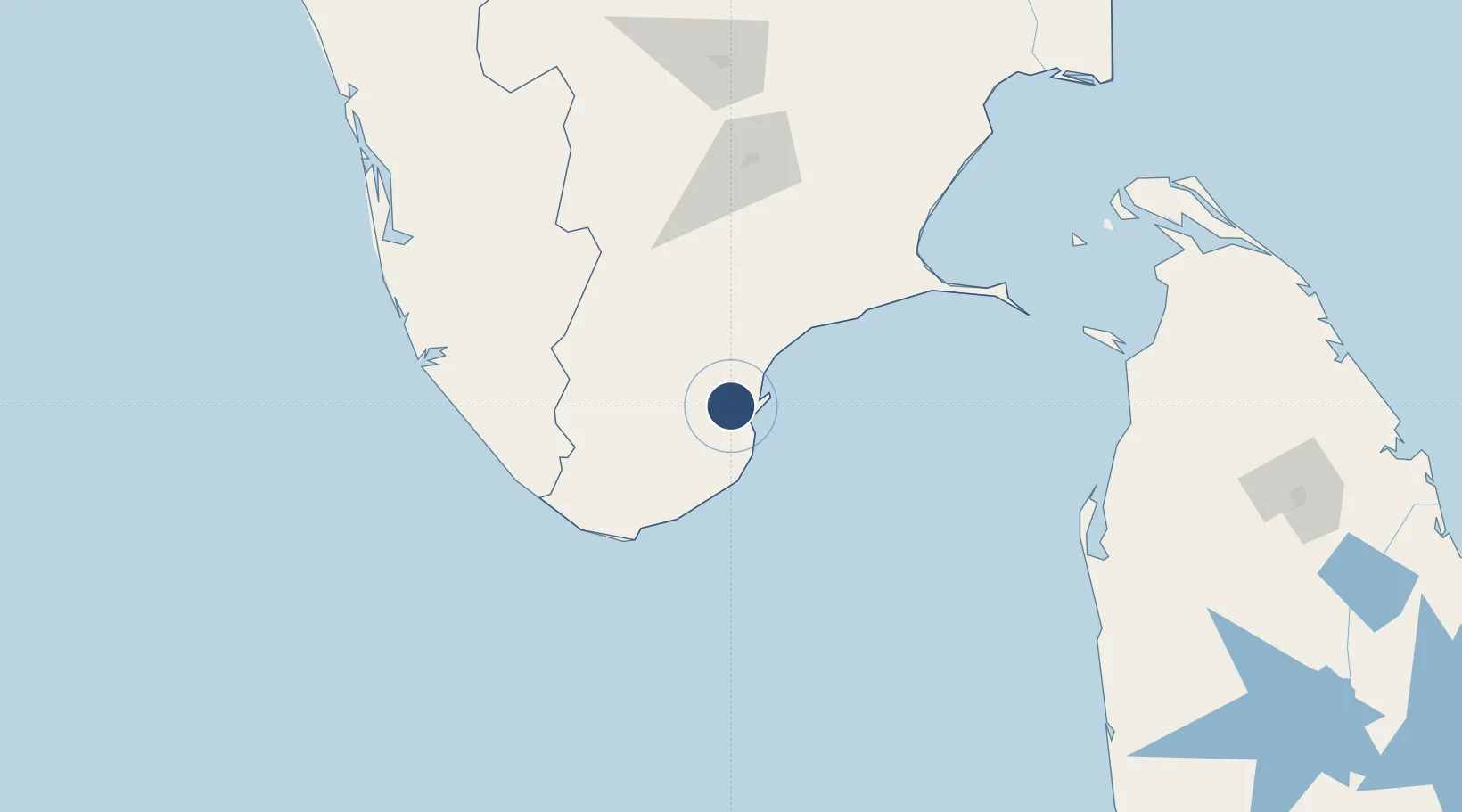
8.7242°, 78.0258°
4,434 ft
Longest runway
1
Runways
129 ft
Elevation

Runway & Layout

Tuticorin Airport runway & taxiway layout
Runway & taxiway layout — OpenStreetMap (ODbL) / OurAirports

Navaids

TU NDB Tuticorin 376 kHz
OurAirports

Runways · 1

RunwayDimensions SurfaceTrue headingLit
10/28 4,434 × 95ft Asphalt 101°
OurAirports

Airport Specifications

IATA code
TCR
OurAirports
ICAO code
VOTK
OurAirports
Airport class
Small airport
OurAirports
Scheduled service
Yes
OurAirports
Runway surface
Asphalt
OurAirports
Served city
Vagaikulam
OurAirports

Location

Location of VOTK
Natural Earth 10m (public domain) · Tamil Nadu · VOTK · 8.72, 78.03GoogleOSMYandex

Nearby Logistics Neighbours

Airports
  1. 1Madurai Airport124 km
  2. 2Thiruvananthapuram International Airport125 km
  3. 3Cochin International Airport239 km
  4. 4Tiruchirappalli International Airport239 km
  5. 5Jaffna International Airport254 km
Nearest neighbours — logibook spatial index (haversine) over the source coordinates
Cities
  1. 1Tuticorin12 km
  2. 2Ccclil-SEZ/Tuticorin14 km
  3. 3SSL SEZ/Tuticorin14 km
  4. 4Sipcot-Gangaikondan-SEZ/Tirunelveli17 km
  5. 5New Tuticorin21 km
Nearest neighbours — logibook spatial index (haversine) over the source coordinates
Ports
  1. 1Tuticorin18 km
  2. 2Trivandrum121 km
  3. 3Quilon (Kollam)159 km
  4. 4Kochi (Cochin)240 km
  5. 5Kankesanturai253 km
Nearest neighbours — logibook spatial index (haversine) over the source coordinates
DatabookThe Record of Consolidated Knowledge
India beyond logistics?
Browse databook

All Sources

AirportsOurAirports
Public domain
Portsthe NGA World Port Index
Public domain (US gov)
LocationsUN/LOCODE
UN/LOCODE — free
Trade Zonesthe World Bank SEZ database
CC BY 4.0
Trade ZonesOpen Zone Map
CC BY
InfrastructureOpenStreetMap
ODbL 1.0
← India airports