Large airport · India
Thiruvananthapuram International AirportVOTV
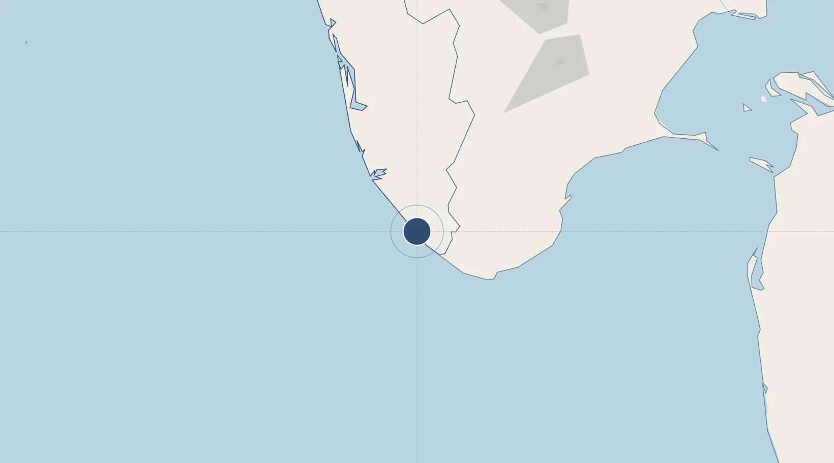
8.4819°, 76.9200°
11,148 ft
Longest runway
1
Runways
15 ft
Elevation
Runway & Layout

Radio Frequencies
ATIS
126.6 MHz
TWR
118.1 MHz
APP
119.6 MHz
ACC
125.9 MHz
CON
RDO
1128.5 MHz
Navaids
TVM VOR-DME Trivandrum 115.10 MHz
Runways · 1
| Runway | Dimensions | Surface | True heading | Lit |
|---|---|---|---|---|
| 14/32 | 11,148 × 150ft | Asphalt | 136° | ✓ |
Airport Specifications
IATA code
TRV
ICAO code
VOTV
Airport class
Large airport
Scheduled service
Yes
Runway surface
Asphalt
Served city
Thiruvananthapuram
Location
Nearby Logistics Neighbours
Airports
- 1Tuticorin Airport125 km
- 2Cochin International Airport194 km
- 3Madurai Airport198 km
- 4Coimbatore International Airport284 km
- 5Calicut International Airport314 km
Cities
- 1Kinfraa-SEZ/Thiruvananthapuram0 km
- 2Vizhinjam14 km
- 3Thiruvananthapuram (ex Trivandrum)15 km
- 4HVCPL SEZ/KADAYAM65 km
- 5Nindakara66 km
Ports
- 1Trivandrum3 km
- 2Quilon (Kollam)57 km
- 3Tuticorin142 km
- 4Kochi (Cochin)182 km
- 5Beypore323 km
DatabookThe Record of Consolidated Knowledge
India beyond logistics?