Large airport · India

Coimbatore International AirportVOCB
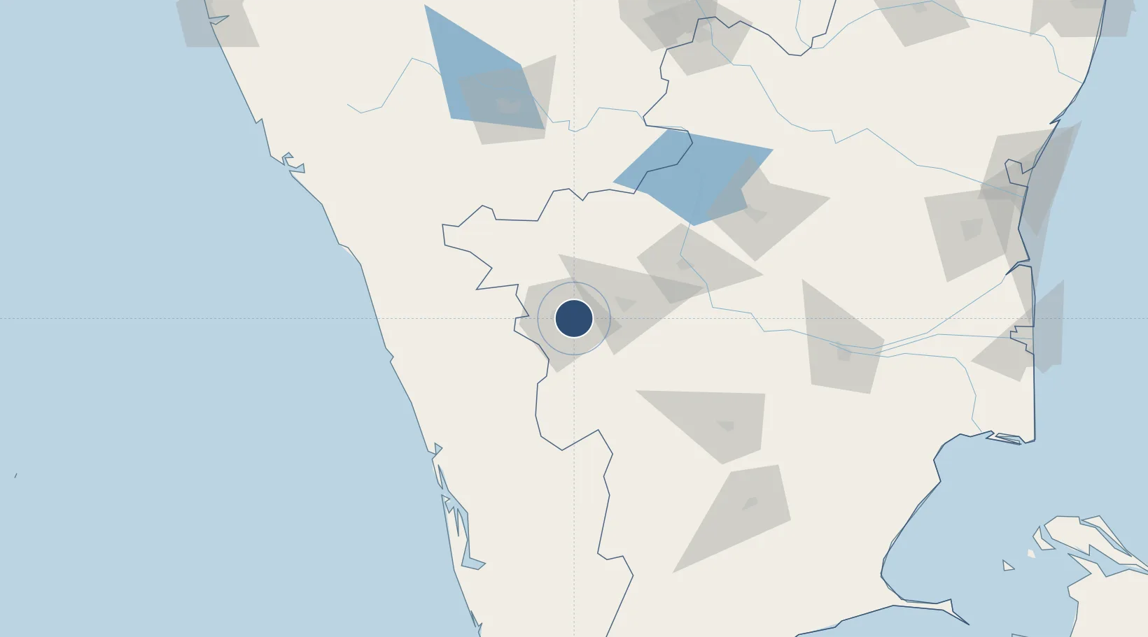
11.0300°, 77.0434°
8,480 ft
Longest runway
1
Runways
1,324 ft
Elevation

Runway & Layout

Coimbatore International Airport runway & taxiway layout
Runway & taxiway layout — OpenStreetMap (ODbL) / OurAirports

Radio Frequencies

ATIS
128.05 MHz
TWR
118.15 MHz
APP
120.05 MHz
AFTER 0430 HRS UTC
OurAirports

Navaids

CB NDB Coimbatore 354 kHz
CCB VOR-DME Coimbatore 112.90 MHz
OurAirports

Runways · 1

RunwayDimensions SurfaceTrue headingLit
05/23 8,480 × 150ft Asphalt 046°
OurAirports

Airport Specifications

IATA code
CJB
OurAirports
ICAO code
VOCB
OurAirports
Airport class
Large airport
OurAirports
Scheduled service
Yes
OurAirports
Runway surface
Asphalt
OurAirports
Served city
Coimbatore
OurAirports

Location

Location of VOCB
Natural Earth 10m (public domain) · Tamil Nadu · VOCB · 11.03, 77.04GoogleOSMYandex

Nearby Logistics Neighbours

Airports
  1. 1Calicut International Airport119 km
  2. 2Cochin International Airport120 km
  3. 3Salem Airport139 km
  4. 4Mysore Airport140 km
  5. 5Madurai Airport176 km
Nearest neighbours — logibook spatial index (haversine) over the source coordinates
Cities
  1. 1Coimbatore4 km
  2. 2Singanallur6 km
  3. 3SE&C LTD-SEZ/Coimbatore9 km
  4. 4TDPL SEZ/Coimbatore9 km
  5. 5ECTN SEZ/Coimbatore9 km
Nearest neighbours — logibook spatial index (haversine) over the source coordinates
Ports
  1. 1Beypore137 km
  2. 2Calicut (Kozhikode)141 km
  3. 3Kochi (Cochin)148 km
  4. 4Azhikal (Azhikkal)215 km
  5. 5Quilon (Kollam)245 km
Nearest neighbours — logibook spatial index (haversine) over the source coordinates
Trade Zones
  1. 1Rathinam Techzone13 km
  2. 2Span Ventures13 km
  3. 3Aspen Karumathamapatti Special Economic Zone (Formerly Aspen)18 km
  4. 4Kinfra (Food Processing) SEZ Kakkancherry126 km
  5. 5Kerala State Information Technology Infrastructure Limited134 km
Nearest neighbours — logibook spatial index (haversine) over the source coordinates
DatabookThe Record of Consolidated Knowledge
India beyond logistics?
Browse databook

All Sources

AirportsOurAirports
Public domain
Portsthe NGA World Port Index
Public domain (US gov)
LocationsUN/LOCODE
UN/LOCODE — free
Trade Zonesthe World Bank SEZ database
CC BY 4.0
Trade ZonesOpen Zone Map
CC BY
InfrastructureOpenStreetMap
ODbL 1.0
← India airports