Transport Functions
Port
Road
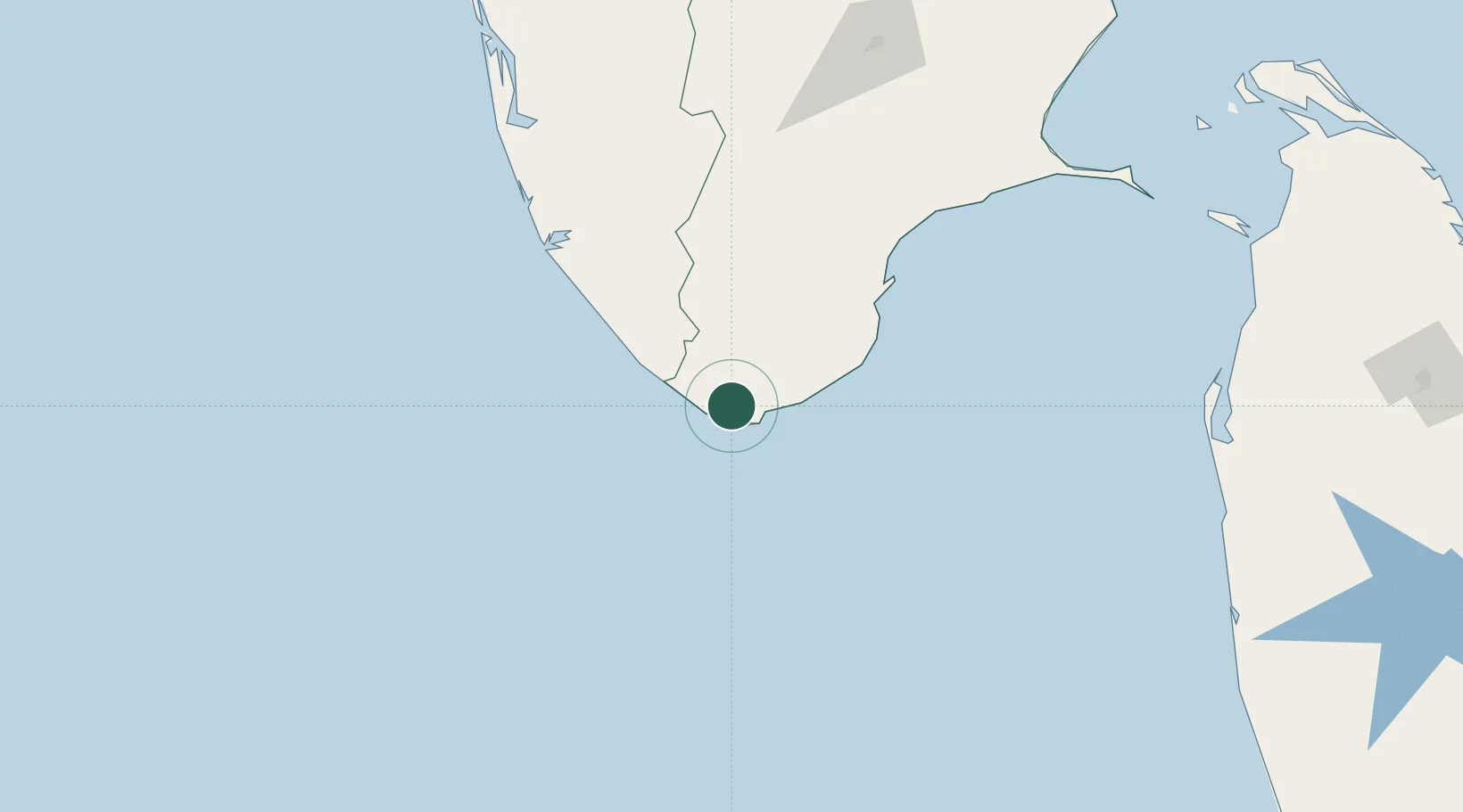
Hub Profile
Place type
Populated place
Region
Tamil Nadu
Population
224,849
Time zone
Asia/Kolkata
Elevation
40 m
Location
Nearby Logistics Neighbours
Cities
- 1Amrlitcl-SEZ/Nanguneri44 km
- 2Thiruvananthapuram (ex Trivandrum)53 km
- 3Vizhinjam53 km
- 4HVCPL SEZ/KADAYAM59 km
- 5Kinfraa-SEZ/Thiruvananthapuram67 km
Ports
- 1Trivandrum64 km
- 2Tuticorin107 km
- 3Quilon (Kollam)122 km
- 4Kochi (Cochin)240 km
- 5Colombo299 km
Airports
DatabookThe Record of Consolidated Knowledge
India beyond logistics?