Channel & Berth Profile
Pilotage, Tugs & Services
Pilotage compulsoryYES
Pilotage availableYES
Tug assistanceNO
Salvage tugsNO
Potable waterYES
MedicalYES
Facilities & Capabilities
Container—
Ro-Ro—
Liquid bulk—
Dry bulk—
Oil terminal—
Break bulk—
Dry dock—
RepairsNO
BunkeringYES
Rail linkNO
Dangerous cargo—
ISPS security—
Harbour Specifications
Harbour size
Very Small
Harbour type
Coastal (Breakwater)
Shelter
Good
Water body
Laccadive Sea; Indian Ocean
Tidal range
1 m
Overhead limit
No
Pilotage
Yes
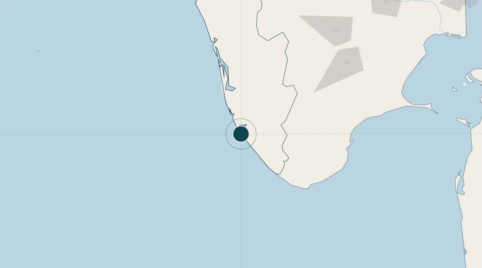
Location
Nearby Logistics Neighbours
Ports
- 1Trivandrum59 km
- 2Kochi (Cochin)128 km
- 3Tuticorin174 km
- 4Beypore269 km
- 5Calicut (Kozhikode)279 km
Cities
- 1Nindakara9 km
- 2Chengannur52 km
- 3Kinfraa-SEZ/Thiruvananthapuram57 km
- 4Vizhinjam71 km
- 5Thiruvananthapuram (ex Trivandrum)72 km
Airports
- 1Thiruvananthapuram International Airport57 km
- 2Cochin International Airport144 km
- 3Tuticorin Airport159 km
- 4Madurai Airport197 km
- 5Coimbatore International Airport245 km
DatabookThe Record of Consolidated Knowledge
India beyond logistics?