Specialized Zone · India
Kerala State Information Technology Infrastructure Limited (Cherthala) Active
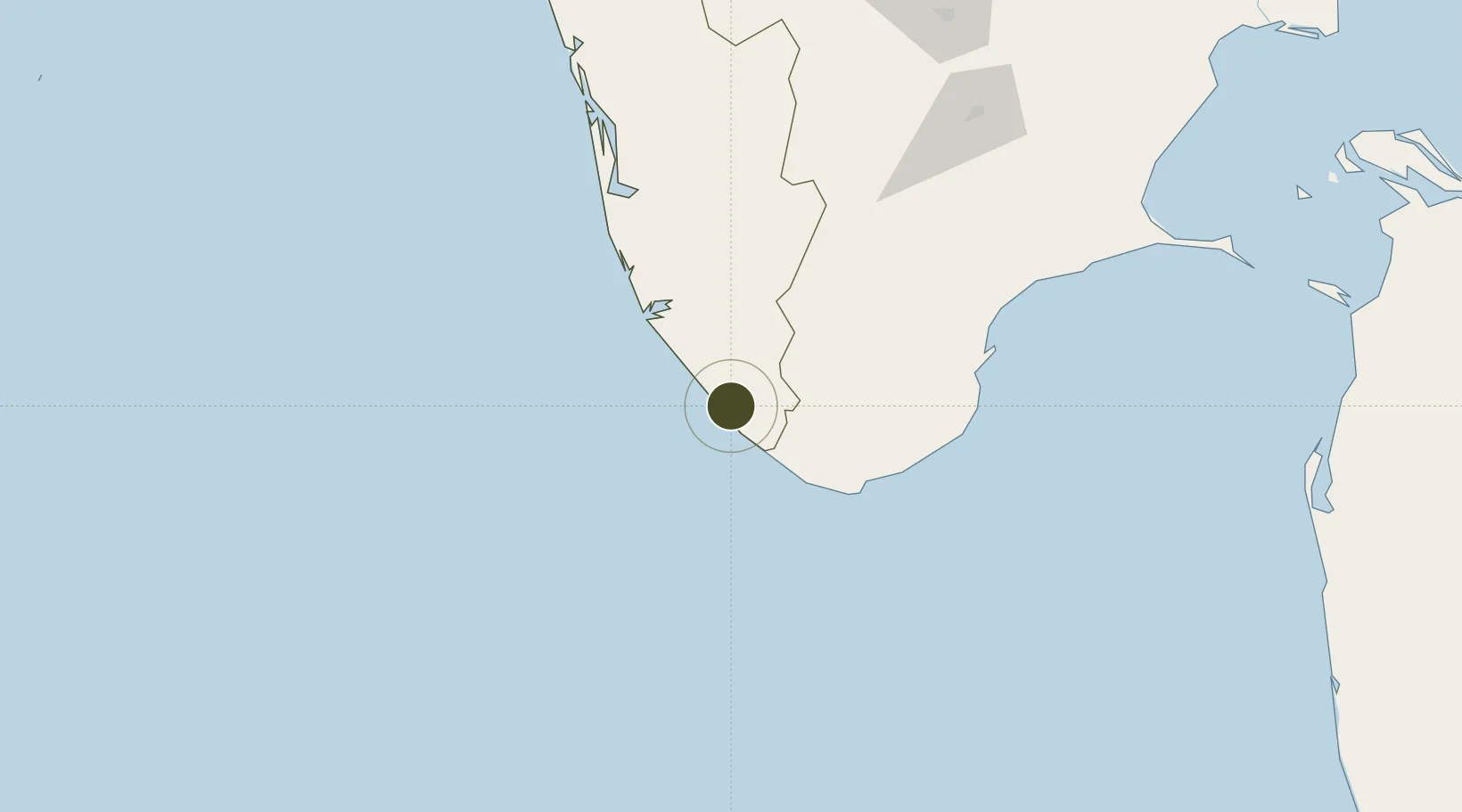
8.4994°, 76.9483°
162 ha
Zone area
1.8 km
Nearest port
3.7 km
Nearest airport
Gateway access
Zone profile
Zone type
Specialized Zone
Specialization
IT
Region
Kerala
Status
Active
Management
Public-Private Partnership
Operator
Kerala Incorporated
Legal framework
Kerala Special Economic Zone Policy of 2008
Location
Nearby Logistics Neighbours
Ports
- 1Trivandrum2 km
- 2Quilon (Kollam)58 km
- 3Tuticorin138 km
- 4Kochi (Cochin)181 km
- 5Beypore322 km
Airports
- 1Thiruvananthapuram International Airport4 km
- 2Tuticorin Airport121 km
- 3Cochin International Airport193 km
- 4Madurai Airport195 km
- 5Coimbatore International Airport282 km
Cities
- 1Kinfraa-SEZ/Thiruvananthapuram4 km
- 2Vizhinjam14 km
- 3Thiruvananthapuram (ex Trivandrum)15 km
- 4HVCPL SEZ/KADAYAM61 km
- 5Nagercoil65 km
DatabookThe Record of Consolidated Knowledge
India beyond logistics?