Transport Functions
Rail
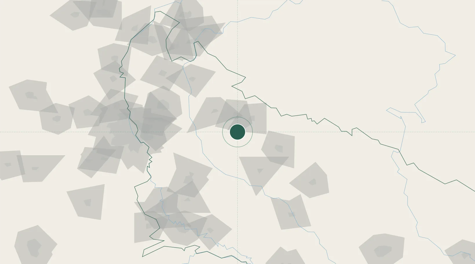
Hub Profile
Place type
Populated place
Region
Uttar Pradesh
Population
29,666
Time zone
Asia/Kolkata
Elevation
198 m
Location
Nearby Logistics Neighbours
Cities
- 1Moradabad32 km
- 2Gajraula61 km
- 3Sandkhera ICD/Kashipur66 km
- 4Rudrapur75 km
- 5Sidcul Icd/Pantnagar85 km
Airports
- 1Moradabad Airport25 km
- 2Bareilly Air Force Station67 km
- 3Pantnagar Airport80 km
- 4Aligarh Airport106 km
- 5Noida International Airport126 km
Trade Zones
- 1Moradabad Special Economic Zone20 km
- 2Moser Baer SEZ, Greater Noida130 km
- 3Vedanta Aluminium Limited130 km
- 4TCS Noida137 km
- 5Noida Special Economic Zone137 km
DatabookThe Record of Consolidated Knowledge
India beyond logistics?