Medium airport · India

Bareilly Air Force StationVIBY
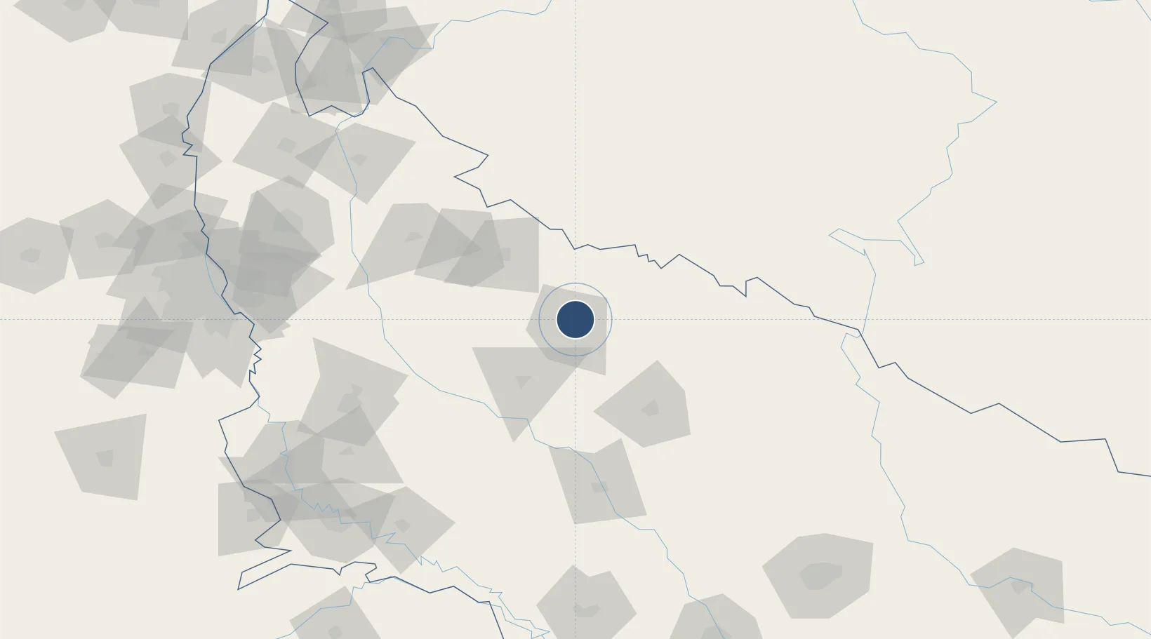
28.4221°, 79.4508°
9,000 ft
Longest runway
1
Runways
580 ft
Elevation

Runway & Layout

Bareilly Air Force Station runway & taxiway layout
Runway & taxiway layout — OpenStreetMap (ODbL) / OurAirports

Radio Frequencies

TWR
123.5 MHz
APP
122.7 MHz
OurAirports

Navaids

BY NDB Bareilly 218 kHz
OurAirports

Runways · 1

RunwayDimensions SurfaceTrue headingLit
11/29 9,000 × 150ft Concrete 112°
OurAirports

Airport Specifications

IATA code
BEK
OurAirports
ICAO code
VIBY
OurAirports
Airport class
Medium airport
OurAirports
Scheduled service
Yes
OurAirports
Runway surface
Concrete
OurAirports
Served city
Bareilly
OurAirports

Location

Location of VIBY
Natural Earth 10m (public domain) · Uttar Pradesh · VIBY · 28.42, 79.45GoogleOSMYandex

Nearby Logistics Neighbours

Airports
  1. 1Moradabad Airport68 km
  2. 2Pantnagar Airport68 km
  3. 3Aligarh Airport142 km
  4. 4Silgadi Doti Airport172 km
  5. 5Noida International Airport182 km
Nearest neighbours — logibook spatial index (haversine) over the source coordinates
Cities
  1. 1Sitarganj62 km
  2. 2Bilari67 km
  3. 3Rudrapur69 km
  4. 4Sidcul Icd/Pantnagar70 km
  5. 5Moradabad83 km
Nearest neighbours — logibook spatial index (haversine) over the source coordinates
Ports
  1. 1Dahej1021 km
  2. 2Bhavnagar1037 km
  3. 3Magdalla1054 km
  4. 4Hazira1067 km
  5. 5Navlakhi1087 km
Nearest neighbours — logibook spatial index (haversine) over the source coordinates
Trade Zones
  1. 1Moradabad Special Economic Zone84 km
  2. 2Moser Baer SEZ, Greater Noida194 km
  3. 3Vedanta Aluminium Limited194 km
  4. 4TCS Noida200 km
  5. 5Noida Special Economic Zone201 km
Nearest neighbours — logibook spatial index (haversine) over the source coordinates
DatabookThe Record of Consolidated Knowledge
India beyond logistics?
Browse databook

All Sources

AirportsOurAirports
Public domain
Portsthe NGA World Port Index
Public domain (US gov)
LocationsUN/LOCODE
UN/LOCODE — free
Trade Zonesthe World Bank SEZ database
CC BY 4.0
Trade ZonesOpen Zone Map
CC BY
InfrastructureOpenStreetMap
ODbL 1.0
← India airports