UN/LOCODE hub · India
INDLO

Birpara Lcs

26.5167°, 88.7333°
1
Transport functions

Transport Functions

Multimodal
UN/LOCODE

Hub Profile

Region
WB
GeoNames

Location

Location of INDLO
Natural Earth 10m (public domain) · WB · INDLO · 26.52, 88.73GoogleOSMYandex

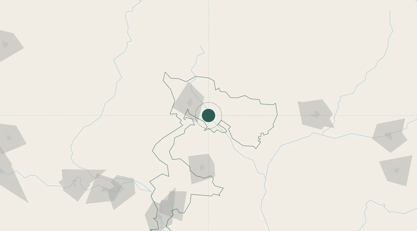
Nearby Logistics Neighbours

Cities
  1. 1Loksan Lcs2 km
  2. 2Changrabandha21 km
  3. 3Kulkuli Lcs37 km
  4. 4Siliguri39 km
  5. 5Nagarkata Lcs46 km
Nearest neighbours — logibook spatial index (haversine) over the source coordinates
Ports
  1. 1Calcutta443 km
  2. 2Mongla459 km
  3. 3Haldia Port505 km
  4. 4Chittagong562 km
  5. 5Dhamra659 km
Nearest neighbours — logibook spatial index (haversine) over the source coordinates
Airports
  1. 1Bagdogra Airport44 km
  2. 2Bhadrapur Airport65 km
  3. 3Hashimara Air Force Station66 km
  4. 4Saidpur Airport86 km
  5. 5Paro International Airport120 km
Nearest neighbours — logibook spatial index (haversine) over the source coordinates
Trade Zones
  1. 1Panchagarh Economic Zone44 km
  2. 2Debiganj Economic Zone: Sujon44 km
  3. 3Dhamdum Industrial Park56 km
  4. 4Nilphamari Economic Zone65 km
  5. 5Uttara Export Processing Zone74 km
Nearest neighbours — logibook spatial index (haversine) over the source coordinates
DatabookThe Record of Consolidated Knowledge
India beyond logistics?
Browse databook

All Sources

LocationsUN/LOCODE
UN/LOCODE — free
Portsthe NGA World Port Index
Public domain (US gov)
AirportsOurAirports
Public domain
Trade Zonesthe World Bank SEZ database
CC BY 4.0
Trade ZonesOpen Zone Map
CC BY
← India locations