Medium airport · India

Dehradun Jolly Grant AirportVIDN
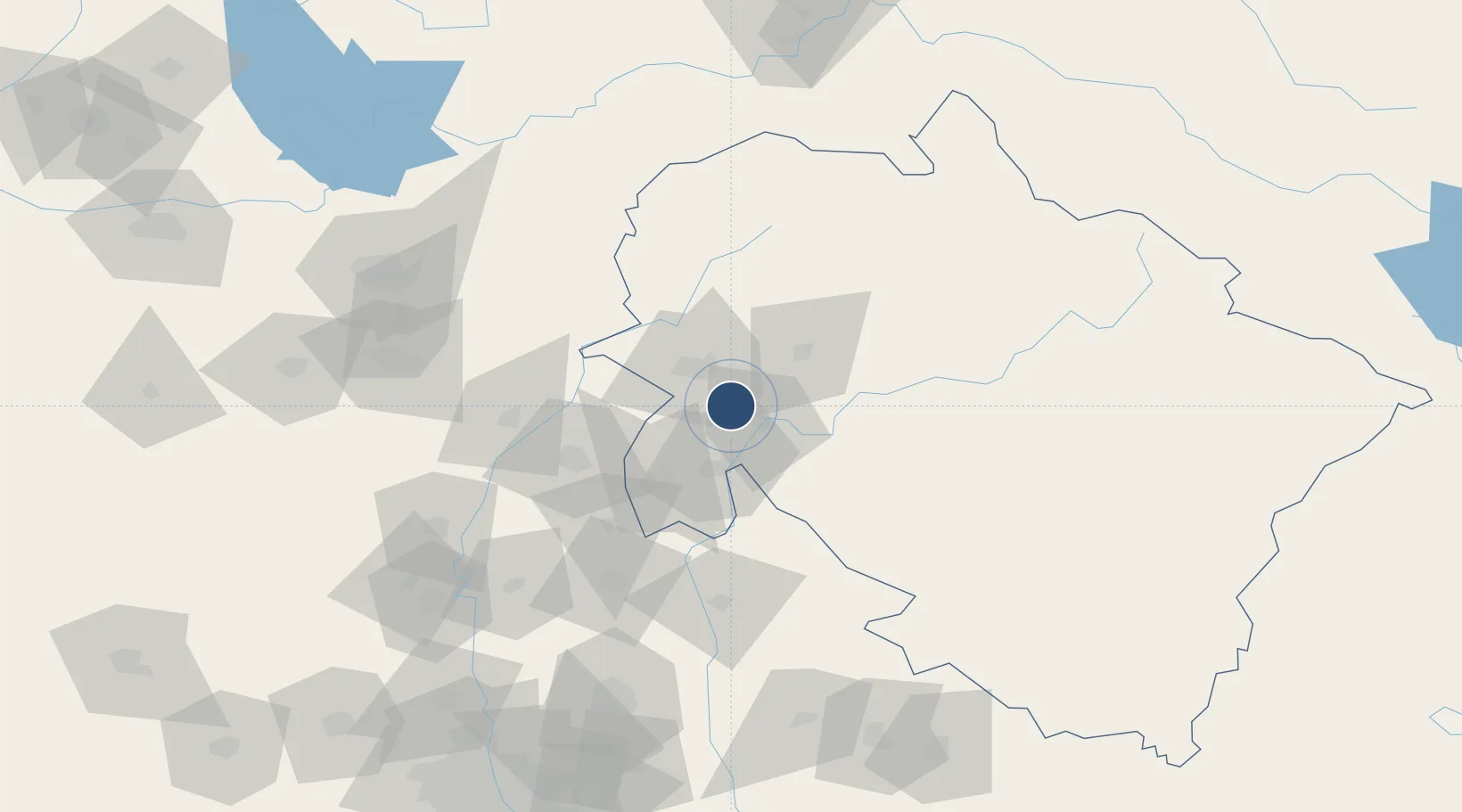
30.1892°, 78.1767°
7,000 ft
Longest runway
1
Runways
1,831 ft
Elevation

Runway & Layout

Dehradun Jolly Grant Airport runway & taxiway layout
Runway & taxiway layout — OpenStreetMap (ODbL) / OurAirports

Radio Frequencies

TWR
122.3 MHz
VOR
112.6 MHz
DDN
OurAirports

Navaids

JG NDB Dehradun 375 kHz
OurAirports

Runways · 1

RunwayDimensions SurfaceTrue headingLit
08/26 7,000 × 150ft Asphalt 080°
OurAirports

Airport Specifications

IATA code
DED
OurAirports
ICAO code
VIDN
OurAirports
Airport class
Medium airport
OurAirports
Scheduled service
Yes
OurAirports
Runway surface
Asphalt
OurAirports
Served city
Dehradun (Jauligrant)
OurAirports

Location

Location of VIDN
Natural Earth 10m (public domain) · Uttarakhand · VIDN · 30.19, 78.18GoogleOSMYandex

Nearby Logistics Neighbours

Airports
  1. 1Ambala Air Force Station132 km
  2. 2Shaheed Bhagat Singh International Airport144 km
  3. 3Moradabad Airport169 km
  4. 4Pantnagar Airport180 km
  5. 5Hindon Airport / Hindon Air Force Station183 km
Nearest neighbours — logibook spatial index (haversine) over the source coordinates
Cities
  1. 1Barwala46 km
  2. 2Barotiwala47 km
  3. 3Ambala Cantonment87 km
  4. 4Kala Amb100 km
  5. 5Nilokheri128 km
Nearest neighbours — logibook spatial index (haversine) over the source coordinates
Ports
  1. 1Dahej1099 km
  2. 2Bhavnagar1109 km
  3. 3Navlakhi1112 km
  4. 4Kandla1122 km
  5. 5Magdalla1142 km
Nearest neighbours — logibook spatial index (haversine) over the source coordinates
Trade Zones
  1. 1Rajeev Gandhi Technology Park, Phase-2, Chandigarh143 km
  2. 2Rajiv Gandhi Technology Park, Phase-1 Chandigarh143 km
  3. 3Quarkcity India Pvt. Ltd.153 km
  4. 4Moradabad Special Economic Zone165 km
  5. 5Parsvnath Developers Limited189 km
Nearest neighbours — logibook spatial index (haversine) over the source coordinates
DatabookThe Record of Consolidated Knowledge
India beyond logistics?
Browse databook

All Sources

AirportsOurAirports
Public domain
Portsthe NGA World Port Index
Public domain (US gov)
LocationsUN/LOCODE
UN/LOCODE — free
Trade Zonesthe World Bank SEZ database
CC BY 4.0
Trade ZonesOpen Zone Map
CC BY
InfrastructureOpenStreetMap
ODbL 1.0
← India airports