Transport Functions
Port
Road
Hub Profile
Place type
Populated place
Region
Himachal Pradesh
Time zone
Asia/Kolkata
Elevation
1,020 m
Logistics facilities
1
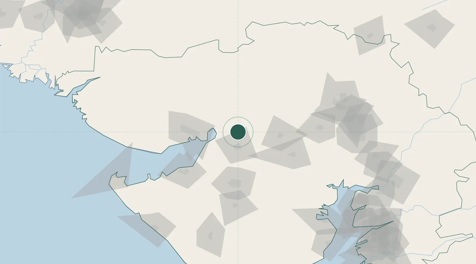
Location
Nearby Logistics Neighbours
Cities
- 1Maliya8 km
- 2Kandla-SEZ/Gandhidham66 km
- 3Kandla69 km
- 4OPGS SEZ/Gandhidham73 km
- 5Gandhidham73 km
Airports
- 1Kandla Airport76 km
- 2Rajkot International Airport79 km
- 3Rajkot Airport85 km
- 4Jamnagar Airport109 km
- 5Bhuj Airport123 km
Trade Zones
DatabookThe Record of Consolidated Knowledge
India beyond logistics?