UN/LOCODE hub · India
INMLY

Maliya

23.0833°, 70.7667°
15,964
Population
2
Transport functions

Transport Functions

Rail
Road
UN/LOCODE

Hub Profile

Place type
Populated place
GeoNames
Region
Gujarat
GeoNames
Population
15,964
GeoNames
Time zone
Asia/Kolkata
GeoNames
Elevation
13 m
GeoNames

Location

Location of INMLY
Natural Earth 10m (public domain) · Gujarat · INMLY · 23.08, 70.77GoogleOSMYandex

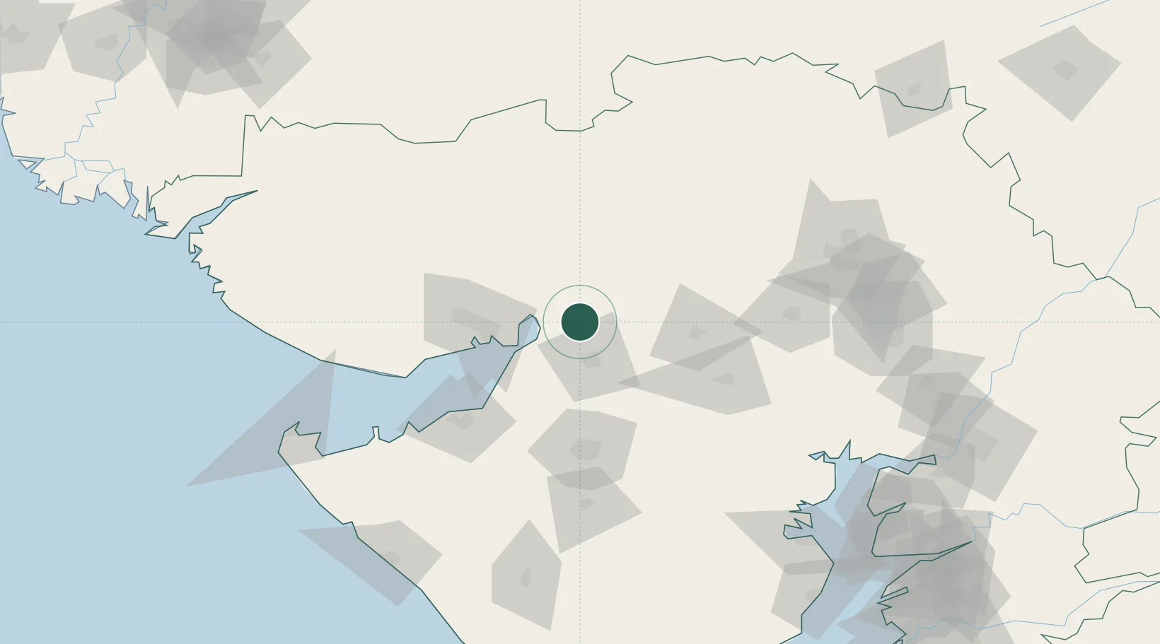
Nearby Logistics Neighbours

Cities
  1. 1Morbi8 km
  2. 2Kandla-SEZ/Gandhidham58 km
  3. 3Kandla61 km
  4. 4OPGS SEZ/Gandhidham65 km
  5. 5Gandhidham65 km
Nearest neighbours — logibook spatial index (haversine) over the source coordinates
Ports
  1. 1Navlakhi36 km
  2. 2Kandla57 km
  3. 3Bedi93 km
  4. 4Mundra116 km
  5. 5Sikka120 km
Nearest neighbours — logibook spatial index (haversine) over the source coordinates
Airports
  1. 1Kandla Airport68 km
  2. 2Rajkot International Airport83 km
  3. 3Rajkot Airport86 km
  4. 4Jamnagar Airport103 km
  5. 5Bhuj Airport114 km
Nearest neighbours — logibook spatial index (haversine) over the source coordinates
Trade Zones
  1. 1Kandla Special Economic Zone65 km
  2. 2Kandla Special Economic Zone66 km
  3. 3Euro Multivision Pvt. Ltd.71 km
  4. 4Reliance Jamnagar Infrastructure Ltd.99 km
  5. 5Ganesh Infrastructure Pvt. Ltd.110 km
Nearest neighbours — logibook spatial index (haversine) over the source coordinates
DatabookThe Record of Consolidated Knowledge
India beyond logistics?
Browse databook

All Sources

LocationsUN/LOCODE
UN/LOCODE — free
LocationsGeoNames
CC BY 4.0
Portsthe NGA World Port Index
Public domain (US gov)
AirportsOurAirports
Public domain
Trade Zonesthe World Bank SEZ database
CC BY 4.0
Trade ZonesOpen Zone Map
CC BY
← India locations