UN/LOCODE hub · India
INROZ

Rozi

22.5667°, 70.0333°
1
Transport functions

Transport Functions

Port
UN/LOCODE

Hub Profile

Region
GJ
GeoNames

Location

Location of INROZ
Natural Earth 10m (public domain) · GJ · INROZ · 22.57, 70.03GoogleOSMYandex

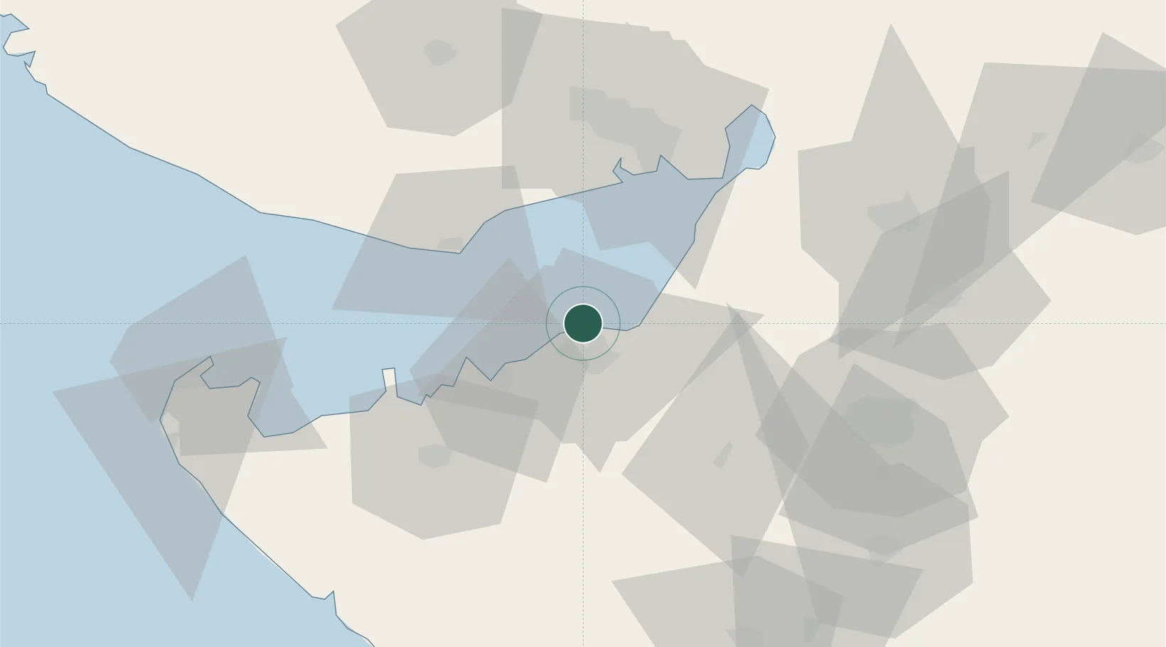
Nearby Logistics Neighbours

Cities
  1. 1Reliance SEZ/Jamnagar12 km
  2. 2Sika25 km
  3. 3Mundra Port SEZ41 km
  4. 4Mundra44 km
  5. 5Kandla54 km
Nearest neighbours — logibook spatial index (haversine) over the source coordinates
Ports
  1. 1Bedi1 km
  2. 2Sikka25 km
  3. 3Mundra38 km
  4. 4Vadinar Terminal39 km
  5. 5Kandla55 km
Nearest neighbours — logibook spatial index (haversine) over the source coordinates
Airports
  1. 1Jamnagar Airport11 km
  2. 2Kandla Airport61 km
  3. 3Rajkot Airport82 km
  4. 4Bhuj Airport88 km
  5. 5Rajkot International Airport106 km
Nearest neighbours — logibook spatial index (haversine) over the source coordinates
Trade Zones
  1. 1Reliance Jamnagar Infrastructure Ltd.9 km
  2. 2Adani Mundra Port40 km
  3. 3Ganesh Infrastructure Pvt. Ltd.44 km
  4. 4Kandla Special Economic Zone53 km
  5. 5Kandla Special Economic Zone53 km
Nearest neighbours — logibook spatial index (haversine) over the source coordinates
DatabookThe Record of Consolidated Knowledge
India beyond logistics?
Browse databook

All Sources

LocationsUN/LOCODE
UN/LOCODE — free
Portsthe NGA World Port Index
Public domain (US gov)
AirportsOurAirports
Public domain
Trade Zonesthe World Bank SEZ database
CC BY 4.0
Trade ZonesOpen Zone Map
CC BY
← India locations