UN/LOCODE hub · India
INNKI

Sinnar

19.8500°, 74.0000°
65,299
Population
1
Transport functions

Transport Functions

Multimodal
UN/LOCODE

Hub Profile

Place type
Populated place
GeoNames
Region
Maharashtra
GeoNames
Population
65,299
GeoNames
Time zone
Asia/Kolkata
GeoNames
Elevation
671 m
GeoNames

Location

Location of INNKI
Natural Earth 10m (public domain) · Maharashtra · INNKI · 19.85, 74.00GoogleOSMYandex

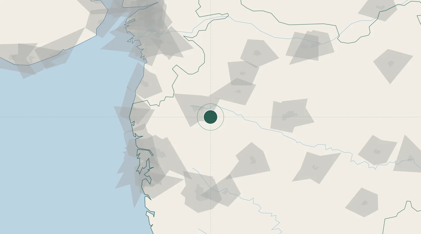
Nearby Logistics Neighbours

Cities
  1. 1Nasik26 km
  2. 2Eon SEZ/Kharadi71 km
  3. 3Shahapur83 km
  4. 4Shirur84 km
  5. 5Wada100 km
Nearest neighbours — logibook spatial index (haversine) over the source coordinates
Ports
  1. 1Jawaharlal Nehru Port (Nhava Shiva)149 km
  2. 2Mumbai (Bombay)154 km
  3. 3Magdalla195 km
  4. 4Hazira198 km
  5. 5Dahej256 km
Nearest neighbours — logibook spatial index (haversine) over the source coordinates
Airports
  1. 1Nashik International Airport31 km
  2. 2Shirdi International Airport43 km
  3. 3Daman Airport137 km
  4. 4Navi Mumbai International Airport137 km
  5. 5Pune International Airport141 km
Nearest neighbours — logibook spatial index (haversine) over the source coordinates
Trade Zones
  1. 1Bajaj Auto Limited124 km
  2. 2Syntel International Pvt Ltd129 km
  3. 3Meditab Specialities Private Limited129 km
  4. 4Serene Properties Pvt. Ltd130 km
  5. 5K. Raheja Universal Private Limited138 km
Nearest neighbours — logibook spatial index (haversine) over the source coordinates
DatabookThe Record of Consolidated Knowledge
India beyond logistics?
Browse databook

All Sources

LocationsUN/LOCODE
UN/LOCODE — free
LocationsGeoNames
CC BY 4.0
Portsthe NGA World Port Index
Public domain (US gov)
AirportsOurAirports
Public domain
Trade Zonesthe World Bank SEZ database
CC BY 4.0
Trade ZonesOpen Zone Map
CC BY
← India locations