Large airport · India

Pune International AirportVAPO
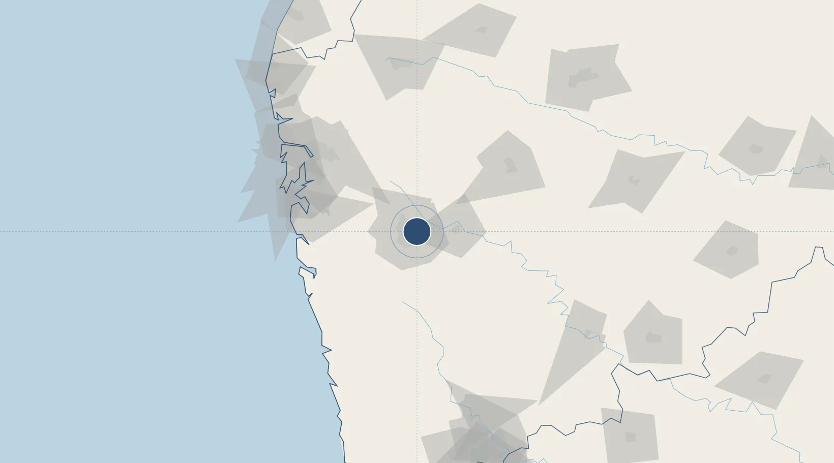
18.5821°, 73.9197°
10,000 ft
Longest runway
2
Runways
1,942 ft
Elevation

Runway & Layout

Pune International Airport runway & taxiway layout
Runway & taxiway layout — OpenStreetMap (ODbL) / OurAirports

Radio Frequencies

TWR
123.5 MHz
POONA TWR
OurAirports

Navaids

PO NDB Pune 381 kHz
PUN VOR-DME Pune 113.90 MHz
OurAirports

Runways · 2

RunwayDimensions SurfaceTrue headingLit
10/28 10,000 × 150ft Asphalt 094°
14/32 5,893 × 150ft Asphalt 134°
OurAirports

Airport Specifications

IATA code
PNQ
OurAirports
ICAO code
VAPO
OurAirports
Airport class
Large airport
OurAirports
Scheduled service
Yes
OurAirports
Runway surface
Asphalt
OurAirports
Served city
Pune
OurAirports

Location

Location of VAPO
Natural Earth 10m (public domain) · Maharashtra · VAPO · 18.58, 73.92GoogleOSMYandex

Nearby Logistics Neighbours

Airports
  1. 1Baramati Airport81 km
  2. 2Navi Mumbai International Airport101 km
  3. 3Chhatrapati Shivaji Maharaj International Airport124 km
  4. 4Shirdi International Airport132 km
  5. 5Nashik International Airport171 km
Nearest neighbours — logibook spatial index (haversine) over the source coordinates
Cities
  1. 1EKIPL SEZ/Pune8 km
  2. 2ITL SEZ/Pune8 km
  3. 3MTDCCL SEZ/Pune8 km
  4. 4BTSL SEZ/Pune8 km
  5. 5SIPL SEZ/Pune8 km
Nearest neighbours — logibook spatial index (haversine) over the source coordinates
Ports
  1. 1Jawaharlal Nehru Port (Nhava Shiva)110 km
  2. 2Mumbai (Bombay)119 km
  3. 3Port Dabhol137 km
  4. 4Jaigarh Bay161 km
  5. 5Ratnagiri190 km
Nearest neighbours — logibook spatial index (haversine) over the source coordinates
DatabookThe Record of Consolidated Knowledge
India beyond logistics?
Browse databook

All Sources

AirportsOurAirports
Public domain
Portsthe NGA World Port Index
Public domain (US gov)
LocationsUN/LOCODE
UN/LOCODE — free
Trade Zonesthe World Bank SEZ database
CC BY 4.0
Trade ZonesOpen Zone Map
CC BY
InfrastructureOpenStreetMap
ODbL 1.0
← India airports