Seaport · India

Mumbai (Bombay)INBOM
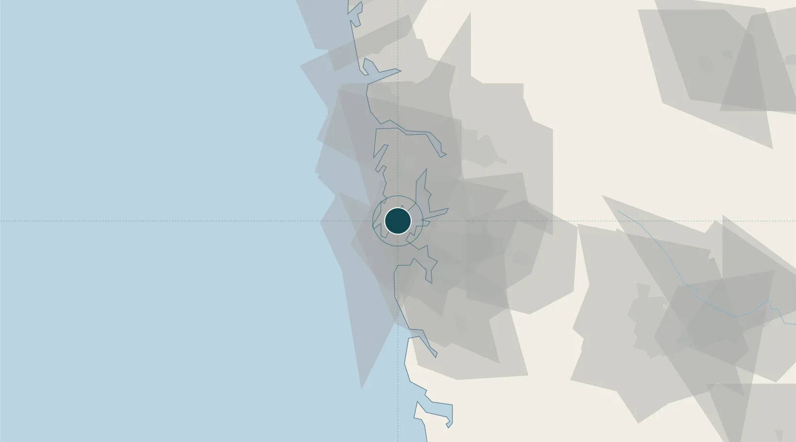
18.9667°, 72.8667°
11.0 m
Channel depth
12.7
Port liner connectivity
Mumbai (Bombay) is also a UN/LOCODE logistics hub →

Channel & Berth Profile

SEA LEVEL (CD)CHANNEL BEDCargo pier · 9.1 mAnchorage · 9.4 mChannel · 11.0 mOil terminal · 14.0 m
NGA World Port Index

Pilotage, Tugs & Services

Pilotage compulsoryYES
Pilotage availableYES
Pilotage advisableYES
Tug assistanceYES
Salvage tugsNO
Shore powerYES
Potable waterYES
Diesel bunkersYES
MedicalYES
Garbage disposalYES
NGA World Port Index

Facilities & Capabilities

Container
Ro-Ro
Liquid bulk
Dry bulk
Oil terminal
Break bulk
Dry dockNO
RepairsNO
BunkeringYES
Rail linkYES
Dangerous cargo
ISPS security
NGA World Port Index

Harbour Specifications

Harbour size
Large
NGA World Port Index
Harbour type
Coastal (Tide Gates)
NGA World Port Index
Shelter
Good
NGA World Port Index
Water body
Arabian Sea; Indian Ocean
NGA World Port Index
Tidal range
4 m
NGA World Port Index
Overhead limit
No
NGA World Port Index
Pilotage
Yes
NGA World Port Index

Liner Connectivity

12.7
PLSCI

Port Liner Shipping Connectivity Index for Mumbai (Bombay), as published by UNCTAD for the latest available quarter. Higher values indicate stronger scheduled liner-shipping integration.

Shown relative to the highest per-port PLSCI in the dataset (1,657.9).

UNCTAD · Port Liner Shipping Connectivity Index

Location

Location of INBOM
Natural Earth 10m (public domain) · Maharashtra · INBOM · 18.97, 72.87GoogleOSMYandex

Nearby Logistics Neighbours

Ports
  1. 1Jawaharlal Nehru Port (Nhava Shiva)9 km
  2. 2Port Dabhol157 km
  3. 3Jaigarh Bay189 km
  4. 4Ratnagiri225 km
  5. 5Hazira237 km
Nearest neighbours — logibook spatial index (haversine) over the source coordinates
Cities
  1. 1HNB SEZ/Mumbai5 km
  2. 2Uran12 km
  3. 3Precious Cargo Customs Clearance Centre/Bandra12 km
  4. 4Chattrapati Shivaji International Apt13 km
  5. 5LIPD SEZ/Navi Mumbai15 km
Nearest neighbours — logibook spatial index (haversine) over the source coordinates
Airports
  1. 1Chhatrapati Shivaji Maharaj International Airport14 km
  2. 2Navi Mumbai International Airport21 km
  3. 3Pune International Airport119 km
  4. 4Daman Airport163 km
  5. 5Nashik International Airport169 km
Nearest neighbours — logibook spatial index (haversine) over the source coordinates
Trade Zones
  1. 1Lodha Dwellers Pvt. Ltd.5 km
  2. 2Bengal Shapoorji Developers Pvt. Ltd.6 km
  3. 3The Manjri Stud Farm Pvt.Ltd6 km
  4. 4Arshiya Northern Ftwz Limited6 km
  5. 5M S. Arshiya International Ltd.6 km
Nearest neighbours — logibook spatial index (haversine) over the source coordinates
DatabookThe Record of Consolidated Knowledge
India beyond logistics?
Browse databook

All Sources

Portsthe NGA World Port Index
Public domain (US gov)
Logistics performanceUNCTAD
CC BY 3.0 IGO
AirportsOurAirports
Public domain
LocationsUN/LOCODE
UN/LOCODE — free
Trade Zonesthe World Bank SEZ database
CC BY 4.0
Trade ZonesOpen Zone Map
CC BY
← India ports