UN/LOCODE hub · India
INISK

Nasik

19.9833°, 73.8000°
2
Transport functions

Transport Functions

Airport
Multimodal
UN/LOCODE

Hub Profile

Region
MH
GeoNames
Logistics facilities
1
UN/LOCODE

Location

Location of INISK
Natural Earth 10m (public domain) · MH · INISK · 19.98, 73.80GoogleOSMYandex

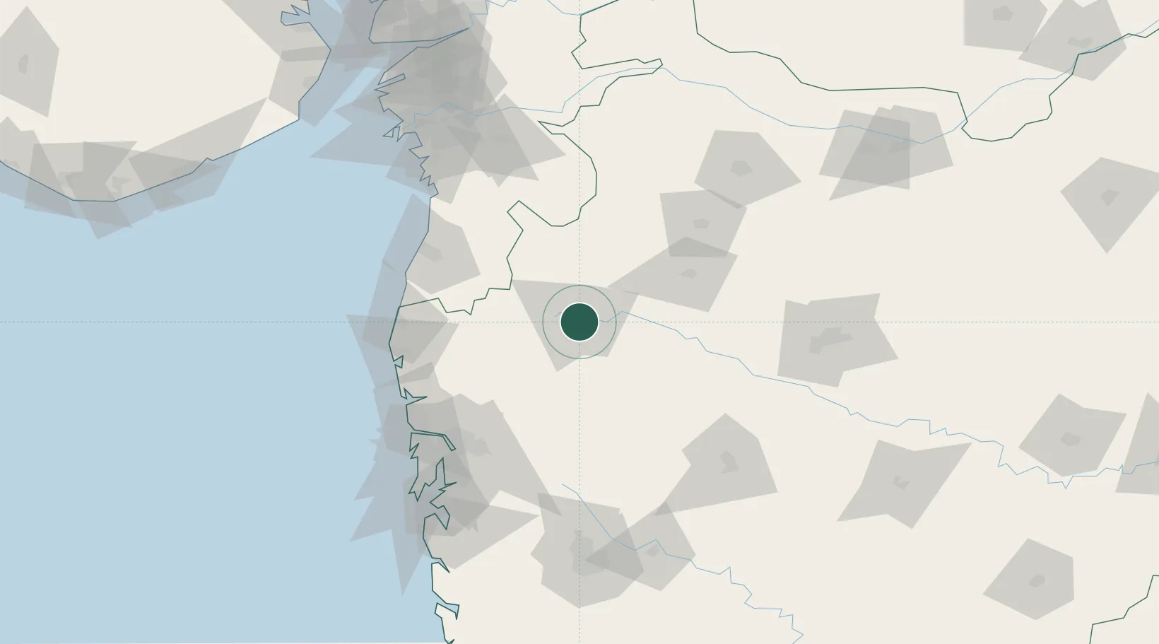
Nearby Logistics Neighbours

Cities
  1. 1Sinnar26 km
  2. 2Eon SEZ/Kharadi62 km
  3. 3Shahapur77 km
  4. 4Vapi99 km
  5. 5Tarapur106 km
Nearest neighbours — logibook spatial index (haversine) over the source coordinates
Ports
  1. 1Jawaharlal Nehru Port (Nhava Shiva)145 km
  2. 2Mumbai (Bombay)150 km
  3. 3Magdalla170 km
  4. 4Hazira172 km
  5. 5Dahej232 km
Nearest neighbours — logibook spatial index (haversine) over the source coordinates
Airports
  1. 1Nashik International Airport19 km
  2. 2Shirdi International Airport68 km
  3. 3Daman Airport112 km
  4. 4Navi Mumbai International Airport135 km
  5. 5Chhatrapati Shivaji Maharaj International Airport139 km
Nearest neighbours — logibook spatial index (haversine) over the source coordinates
Trade Zones
  1. 1Meditab Specialities Private Limited123 km
  2. 2Serene Properties Pvt. Ltd124 km
  3. 3K. Raheja Universal Private Limited129 km
  4. 4Hiranandani Business Park134 km
  5. 5SEEPZ Economic Zone Special136 km
Nearest neighbours — logibook spatial index (haversine) over the source coordinates
DatabookThe Record of Consolidated Knowledge
India beyond logistics?
Browse databook

All Sources

LocationsUN/LOCODE
UN/LOCODE — free
Portsthe NGA World Port Index
Public domain (US gov)
AirportsOurAirports
Public domain
Trade Zonesthe World Bank SEZ database
CC BY 4.0
Trade ZonesOpen Zone Map
CC BY
← India locations