Transport Functions
Port
Road
Hub Profile
Place type
Populated place
Region
Maharashtra
Time zone
Asia/Kolkata
Elevation
640 m
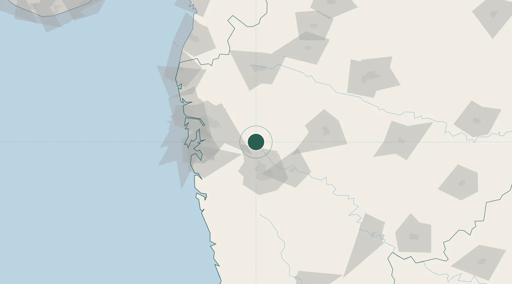
Location
Nearby Logistics Neighbours
Cities
- 1Wipro Sez/Hinjewadi21 km
- 2Talegaon Dabhade24 km
- 3Pune32 km
- 4Chinchwad Station39 km
- 5Khopoli49 km
Ports
- 1Jawaharlal Nehru Port (Nhava Shiva)84 km
- 2Mumbai (Bombay)93 km
- 3Port Dabhol167 km
- 4Jaigarh Bay196 km
- 5Ratnagiri228 km
Airports
Trade Zones
- 1Bajaj Auto Limited26 km
- 2Syntel International Pvt Ltd30 km
- 3Pune Embassy India Pvt Ltd43 km
- 4Infosys Limited43 km
- 5Embassy Quadron Tech Park45 km
DatabookThe Record of Consolidated Knowledge
India beyond logistics?