Transport Functions
Multimodal
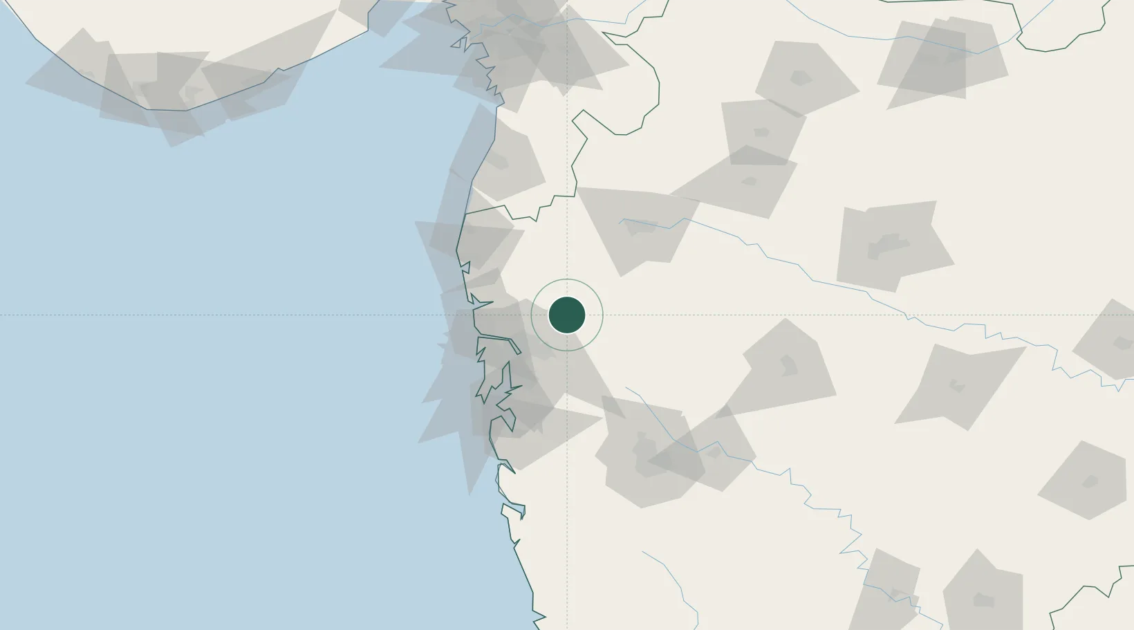
Hub Profile
Place type
Populated place
Region
Maharashtra
Population
11,623
Time zone
Asia/Kolkata
Elevation
59 m
Location
Nearby Logistics Neighbours
Cities
- 1Eon SEZ/Kharadi16 km
- 2IGGSL SEZ/Thane48 km
- 3SPPL SEZ/Thane48 km
- 4SCPL SEZ/Mulund48 km
- 5Thane48 km
Ports
- 1Jawaharlal Nehru Port (Nhava Shiva)69 km
- 2Mumbai (Bombay)73 km
- 3Hazira196 km
- 4Magdalla199 km
- 5Port Dabhol208 km
Airports
Trade Zones
DatabookThe Record of Consolidated Knowledge
India beyond logistics?