Transport Functions
Multimodal
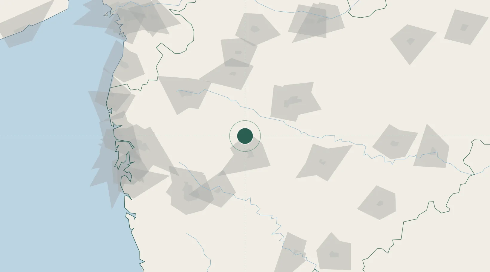
Hub Profile
Place type
Populated place
Region
Maharashtra
Time zone
Asia/Kolkata
Elevation
737 m
Location
Nearby Logistics Neighbours
Cities
- 1Ahmednagar35 km
- 2Karegaon63 km
- 3Sinnar84 km
- 4Maliwada85 km
- 5Aurangabad92 km
Ports
- 1Jawaharlal Nehru Port (Nhava Shiva)183 km
- 2Mumbai (Bombay)191 km
- 3Port Dabhol253 km
- 4Jaigarh Bay276 km
- 5Magdalla278 km
Airports
- 1Shirdi International Airport44 km
- 2Aurangabad Airport96 km
- 3Nashik International Airport111 km
- 4Pune International Airport117 km
- 5Baramati Airport129 km
Trade Zones
DatabookThe Record of Consolidated Knowledge
India beyond logistics?