Specialized Zone · India

Serene Properties Pvt. Ltd Active
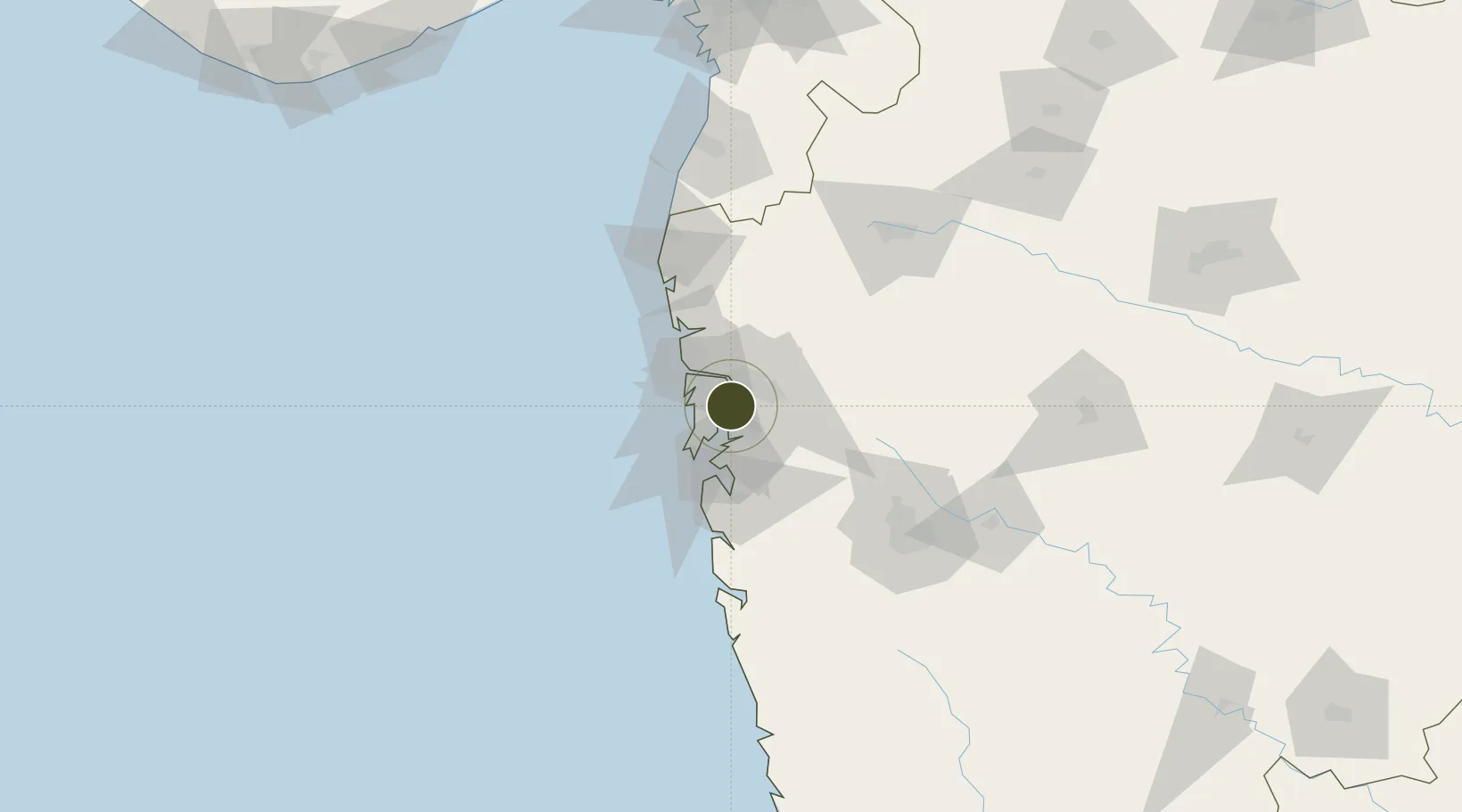
19.1589°, 72.9993°
19 ha
Zone area
23.8 km
Nearest port
15.9 km
Nearest airport

Gateway access

Nearest neighbours — logibook spatial index (haversine) over the source coordinates

Zone profile

Zone type
Specialized Zone
Open Zone Map
Specialization
Tech
Open Zone Map
Region
Maharashtra
Open Zone Map
Status
Active
Open Zone Map
Management
Private
Open Zone Map
Operator
Serene Properties Pvt. Ltd.
Open Zone Map
Legal framework
Maharashtra SEZ Act/Policy, The Special Economic Zones Act, 2005
Open Zone Map

Location

Location of ozm-2316
Natural Earth 10m (public domain) · Maharashtra · ozm-2316 · 19.16, 73.00GoogleOSMYandex

Nearby Logistics Neighbours

Ports
  1. 1Jawaharlal Nehru Port (Nhava Shiva)24 km
  2. 2Mumbai (Bombay)26 km
  3. 3Port Dabhol176 km
  4. 4Jaigarh Bay208 km
  5. 5Hazira217 km
Nearest neighbours — logibook spatial index (haversine) over the source coordinates
Airports
  1. 1Chhatrapati Shivaji Maharaj International Airport16 km
  2. 2Navi Mumbai International Airport21 km
  3. 3Pune International Airport116 km
  4. 4Daman Airport143 km
  5. 5Nashik International Airport143 km
Nearest neighbours — logibook spatial index (haversine) over the source coordinates
Cities
  1. 1Mulund5 km
  2. 2IGGSL SEZ/Thane6 km
  3. 3SPPL SEZ/Thane6 km
  4. 4SCPL SEZ/Mulund6 km
  5. 5Thane6 km
Nearest neighbours — logibook spatial index (haversine) over the source coordinates
Trade Zones
  1. 1Meditab Specialities Private Limited1 km
  2. 2Hiranandani Business Park11 km
  3. 3SEEPZ Economic Zone Special14 km
  4. 4SEEPZ-SEZ14 km
  5. 5Santacruz Electronics Export Processing Zone14 km
Nearest neighbours — logibook spatial index (haversine) over the source coordinates
DatabookThe Record of Consolidated Knowledge
India beyond logistics?
Browse databook

All Sources

Trade ZonesOpen Zone Map
CC BY
Portsthe NGA World Port Index
Public domain (US gov)
AirportsOurAirports
Public domain
LocationsUN/LOCODE
UN/LOCODE — free
← India trade zones