UN/LOCODE hub · India
INPUE

Eon SEZ/Kharadi

19.5833°, 73.3833°
1
Transport functions

Transport Functions

Multimodal
UN/LOCODE

Hub Profile

Region
MH
GeoNames

Location

Location of INPUE
Natural Earth 10m (public domain) · MH · INPUE · 19.58, 73.38GoogleOSMYandex

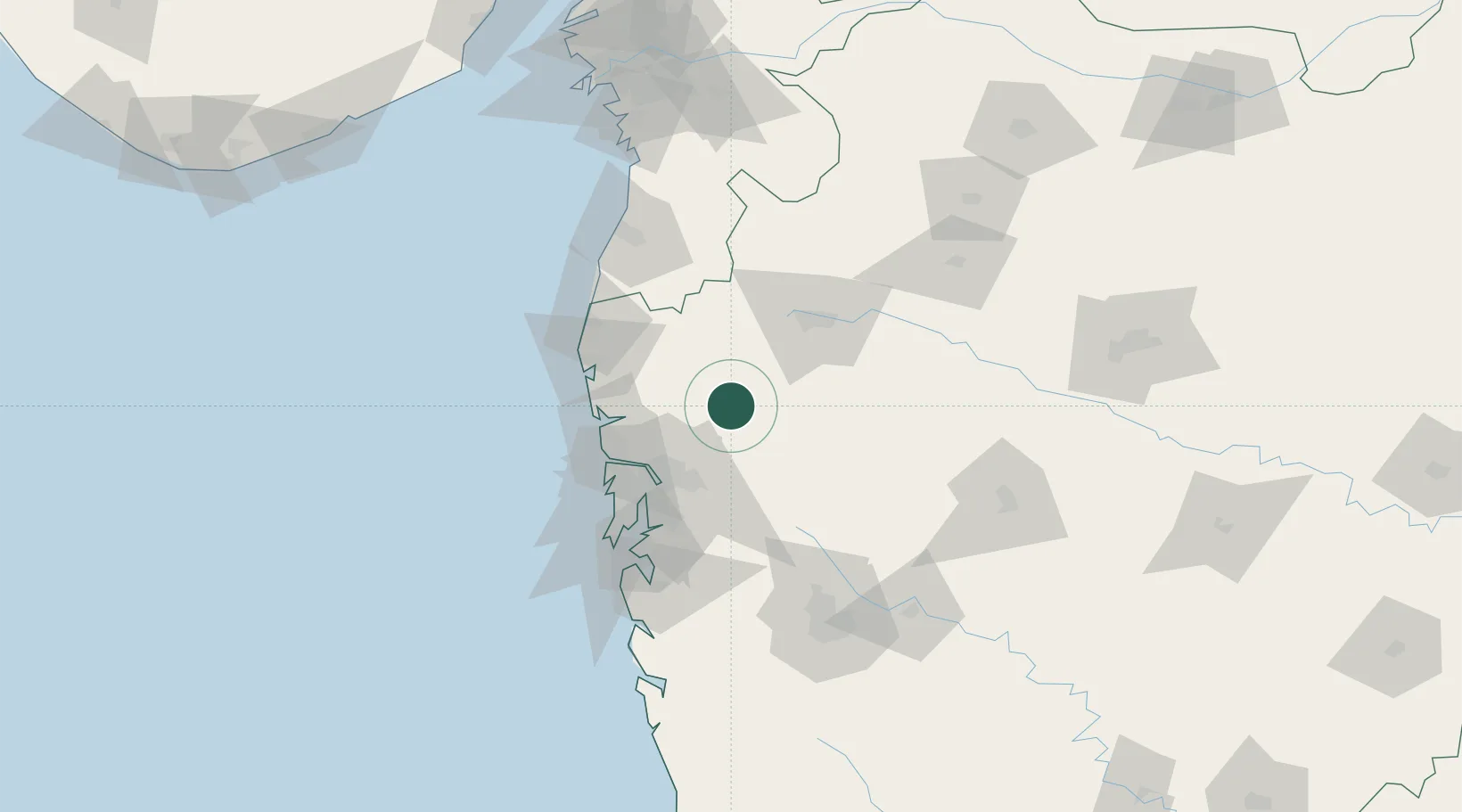
Nearby Logistics Neighbours

Cities
  1. 1Shahapur16 km
  2. 2IGGSL SEZ/Thane61 km
  3. 3SPPL SEZ/Thane61 km
  4. 4SCPL SEZ/Mulund61 km
  5. 5Thane61 km
Nearest neighbours — logibook spatial index (haversine) over the source coordinates
Ports
  1. 1Jawaharlal Nehru Port (Nhava Shiva)84 km
  2. 2Mumbai (Bombay)87 km
  3. 3Hazira184 km
  4. 4Magdalla186 km
  5. 5Port Dabhol224 km
Nearest neighbours — logibook spatial index (haversine) over the source coordinates
Airports
  1. 1Navi Mumbai International Airport75 km
  2. 2Chhatrapati Shivaji Maharaj International Airport77 km
  3. 3Nashik International Airport81 km
  4. 4Shirdi International Airport104 km
  5. 5Daman Airport110 km
Nearest neighbours — logibook spatial index (haversine) over the source coordinates
Trade Zones
  1. 1Meditab Specialities Private Limited61 km
  2. 2Serene Properties Pvt. Ltd62 km
  3. 3K. Raheja Universal Private Limited67 km
  4. 4Hiranandani Business Park72 km
  5. 5SEEPZ Economic Zone Special74 km
Nearest neighbours — logibook spatial index (haversine) over the source coordinates
DatabookThe Record of Consolidated Knowledge
India beyond logistics?
Browse databook

All Sources

LocationsUN/LOCODE
UN/LOCODE — free
Portsthe NGA World Port Index
Public domain (US gov)
AirportsOurAirports
Public domain
Trade Zonesthe World Bank SEZ database
CC BY 4.0
Trade ZonesOpen Zone Map
CC BY
← India locations