Specialized Zone · India

Meditab Specialities Private Limited Active
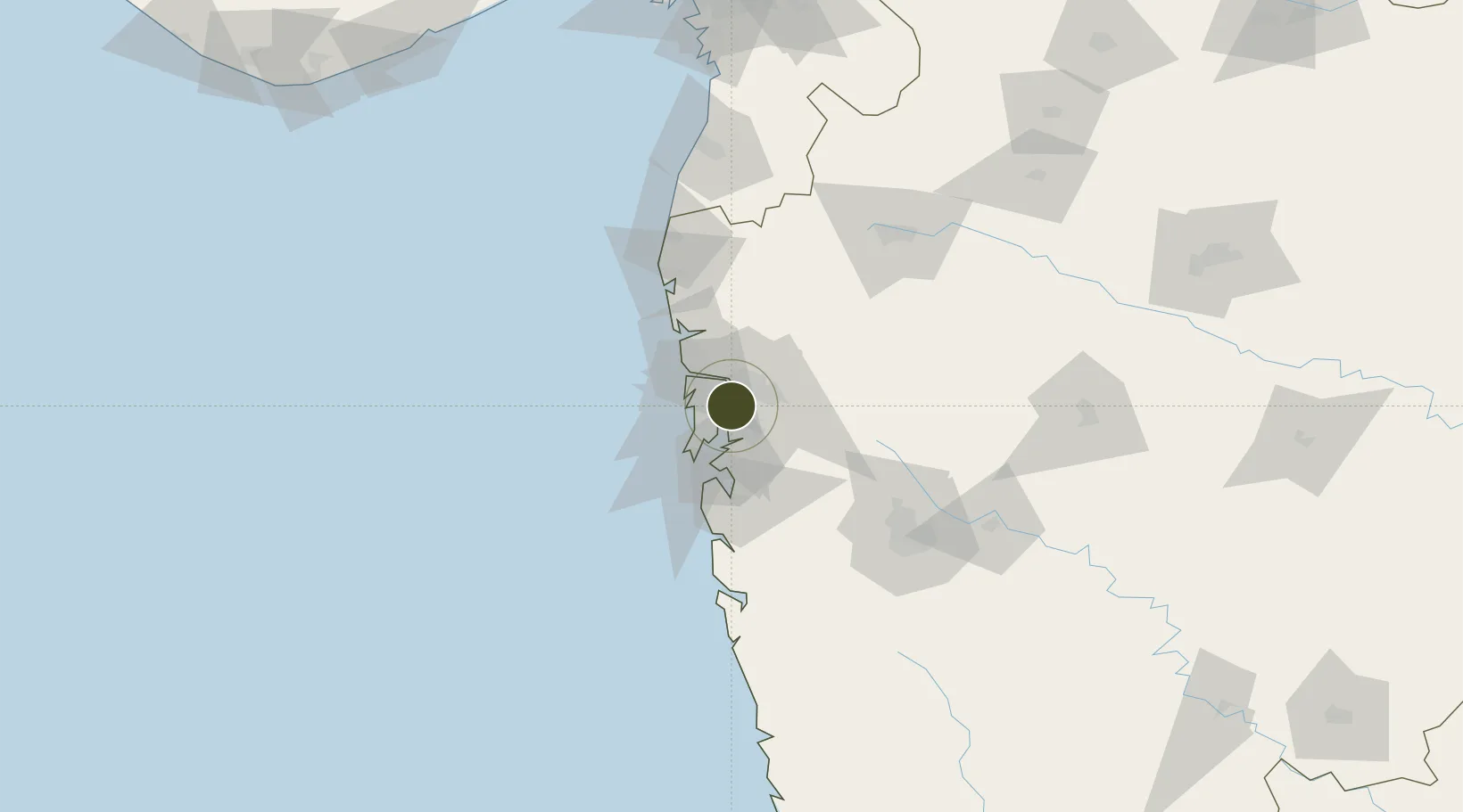
19.1697°, 73.0008°
123 ha
Zone area
25.0 km
Nearest port
16.6 km
Nearest airport

Gateway access

Nearest neighbours — logibook spatial index (haversine) over the source coordinates

Zone profile

Zone type
Specialized Zone
Open Zone Map
Specialization
Biotech
Open Zone Map
Region
Maharashtra
Open Zone Map
Status
Active
Open Zone Map
Management
Public
Open Zone Map
Operator
MEDITAB SPECIALITIES LIMITED
Open Zone Map
Legal framework
Government of Goa’s Policy on SEZ Goa SEZ Policy, 2006
Open Zone Map

Location

Location of ozm-2176
Natural Earth 10m (public domain) · Maharashtra · ozm-2176 · 19.17, 73.00GoogleOSMYandex

Nearby Logistics Neighbours

Ports
  1. 1Jawaharlal Nehru Port (Nhava Shiva)25 km
  2. 2Mumbai (Bombay)27 km
  3. 3Port Dabhol177 km
  4. 4Jaigarh Bay209 km
  5. 5Hazira216 km
Nearest neighbours — logibook spatial index (haversine) over the source coordinates
Airports
  1. 1Chhatrapati Shivaji Maharaj International Airport17 km
  2. 2Navi Mumbai International Airport22 km
  3. 3Pune International Airport117 km
  4. 4Daman Airport142 km
  5. 5Nashik International Airport142 km
Nearest neighbours — logibook spatial index (haversine) over the source coordinates
Cities
  1. 1IGGSL SEZ/Thane5 km
  2. 2SPPL SEZ/Thane5 km
  3. 3SCPL SEZ/Mulund5 km
  4. 4Thane5 km
  5. 5Mulund5 km
Nearest neighbours — logibook spatial index (haversine) over the source coordinates
Trade Zones
  1. 1Serene Properties Pvt. Ltd1 km
  2. 2Hiranandani Business Park11 km
  3. 3K. Raheja Universal Private Limited14 km
  4. 4SEEPZ Economic Zone Special14 km
  5. 5SEEPZ-SEZ14 km
Nearest neighbours — logibook spatial index (haversine) over the source coordinates
DatabookThe Record of Consolidated Knowledge
India beyond logistics?
Browse databook

All Sources

Trade ZonesOpen Zone Map
CC BY
Portsthe NGA World Port Index
Public domain (US gov)
AirportsOurAirports
Public domain
LocationsUN/LOCODE
UN/LOCODE — free
← India trade zones