UN/LOCODE hub · India
INMUZ

Modinagar Icd/Ghaziabad

28.8563°, 77.6097°
1
Transport functions

Transport Functions

Multimodal
UN/LOCODE

Hub Profile

Region
UP
GeoNames
Logistics facilities
1
UN/LOCODE

Location

Location of INMUZ
Natural Earth 10m (public domain) · UP · INMUZ · 28.86, 77.61GoogleOSMYandex

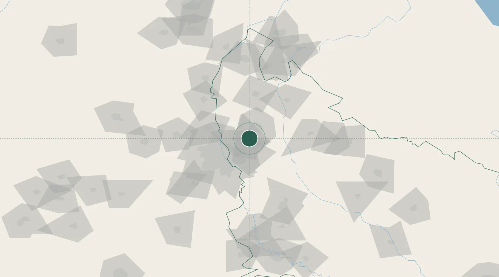
Nearby Logistics Neighbours

Cities
  1. 1Artha Sez/Greater Noida27 km
  2. 2Greater Nodia27 km
  3. 3Ghaziabad27 km
  4. 4Sahibabad28 km
  5. 5Alpl Cfs/Dadri33 km
Nearest neighbours — logibook spatial index (haversine) over the source coordinates
Ports
  1. 1Dahej945 km
  2. 2Bhavnagar955 km
  3. 3Navlakhi971 km
  4. 4Kandla982 km
  5. 5Magdalla987 km
Nearest neighbours — logibook spatial index (haversine) over the source coordinates
Airports
  1. 1Hindon Airport / Hindon Air Force Station30 km
  2. 2Safdarjung Airport50 km
  3. 3Indira Gandhi International Airport60 km
  4. 4Noida International Airport75 km
  5. 5Aligarh Airport122 km
Nearest neighbours — logibook spatial index (haversine) over the source coordinates
Trade Zones
  1. 1Anant Raj Industries, IT Park Rai35 km
  2. 2Parsvnath Developers Limited37 km
  3. 3Genpact Infrastructure (Jaipur) Private Limited41 km
  4. 4Noida Special Economic Zone41 km
  5. 5Agro & Food Processing Special Economic Zone41 km
Nearest neighbours — logibook spatial index (haversine) over the source coordinates
DatabookThe Record of Consolidated Knowledge
India beyond logistics?
Browse databook

All Sources

LocationsUN/LOCODE
UN/LOCODE — free
Portsthe NGA World Port Index
Public domain (US gov)
AirportsOurAirports
Public domain
Trade Zonesthe World Bank SEZ database
CC BY 4.0
Trade ZonesOpen Zone Map
CC BY
← India locations