UN/LOCODE hub · India
INGND

Greater Nodia

28.8167°, 77.8833°
3
Transport functions

Transport Functions

Port
Rail
Road
UN/LOCODE

Hub Profile

Region
UP
GeoNames

Location

Location of INGND
Natural Earth 10m (public domain) · UP · INGND · 28.82, 77.88GoogleOSMYandex

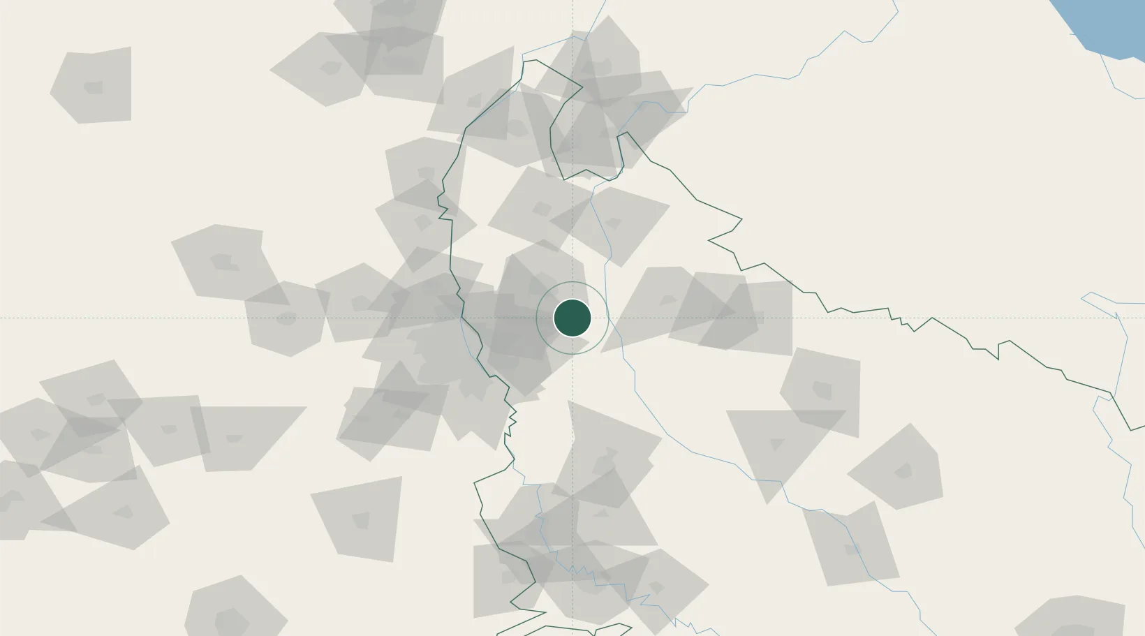
Nearby Logistics Neighbours

Cities
  1. 1Artha Sez/Greater Noida0 km
  2. 2Modinagar Icd/Ghaziabad27 km
  3. 3Gajraula34 km
  4. 4Alpl Cfs/Dadri43 km
  5. 5Acpl Cfs/Dadri43 km
Nearest neighbours — logibook spatial index (haversine) over the source coordinates
Ports
  1. 1Dahej957 km
  2. 2Bhavnagar968 km
  3. 3Navlakhi988 km
  4. 4Magdalla997 km
  5. 5Kandla1000 km
Nearest neighbours — logibook spatial index (haversine) over the source coordinates
Airports
  1. 1Hindon Airport / Hindon Air Force Station53 km
  2. 2Safdarjung Airport71 km
  3. 3Noida International Airport76 km
  4. 4Indira Gandhi International Airport82 km
  5. 5Moradabad Airport101 km
Nearest neighbours — logibook spatial index (haversine) over the source coordinates
Trade Zones
  1. 1Moser Baer SEZ, Greater Noida53 km
  2. 2Vedanta Aluminium Limited53 km
  3. 3Anant Raj Industries, IT Park Rai54 km
  4. 4Noida Special Economic Zone56 km
  5. 5TCS Noida59 km
Nearest neighbours — logibook spatial index (haversine) over the source coordinates
DatabookThe Record of Consolidated Knowledge
India beyond logistics?
Browse databook

All Sources

LocationsUN/LOCODE
UN/LOCODE — free
Portsthe NGA World Port Index
Public domain (US gov)
AirportsOurAirports
Public domain
Trade Zonesthe World Bank SEZ database
CC BY 4.0
Trade ZonesOpen Zone Map
CC BY
← India locations