UN/LOCODE hub · India
INMUL

Mulgund

15.2500°, 75.5333°
18,928
Population
2
Transport functions

Transport Functions

Road
Multimodal
UN/LOCODE

Hub Profile

Place type
Populated place
GeoNames
Region
Karnataka
GeoNames
Population
18,928
GeoNames
Time zone
Asia/Kolkata
GeoNames
Elevation
687 m
GeoNames

Location

Location of INMUL
Natural Earth 10m (public domain) · Karnataka · INMUL · 15.25, 75.53GoogleOSMYandex

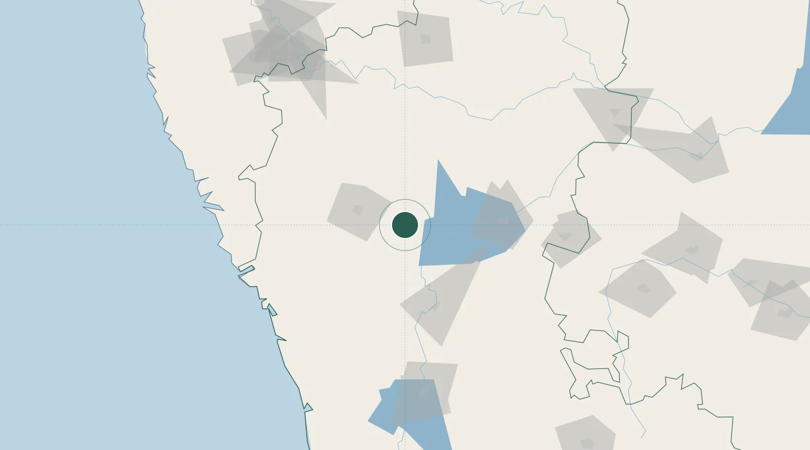
Nearby Logistics Neighbours

Cities
  1. 1Il Sez/Hubli46 km
  2. 2Badami76 km
  3. 3Hospet93 km
  4. 4Toranagallu124 km
  5. 5Quest-SEZ/Belgaum130 km
Nearest neighbours — logibook spatial index (haversine) over the source coordinates
Ports
  1. 1Belekeri149 km
  2. 2Karwar160 km
  3. 3Panaji186 km
  4. 4Marmagao187 km
  5. 5New Mangalore271 km
Nearest neighbours — logibook spatial index (haversine) over the source coordinates
Airports
  1. 1Hubballi Airport50 km
  2. 2Belagavi Airport119 km
  3. 3Bellary Airport145 km
  4. 4Rashtrakavi Kuvempu Airport155 km
  5. 5Goa Dabolim International Airport183 km
Nearest neighbours — logibook spatial index (haversine) over the source coordinates
Trade Zones
  1. 1QuEST Global Special Economic Zone145 km
  2. 2Keonics Shimoga152 km
  3. 3K. Raheja Corp Pvt. Ltd.178 km
  4. 4Indus Gene Expressions Limited242 km
  5. 5Aspen, Padubidri Special Economic Zone (Formerly Aspen)249 km
Nearest neighbours — logibook spatial index (haversine) over the source coordinates
DatabookThe Record of Consolidated Knowledge
India beyond logistics?
Browse databook

All Sources

LocationsUN/LOCODE
UN/LOCODE — free
LocationsGeoNames
CC BY 4.0
Portsthe NGA World Port Index
Public domain (US gov)
AirportsOurAirports
Public domain
Trade Zonesthe World Bank SEZ database
CC BY 4.0
Trade ZonesOpen Zone Map
CC BY
← India locations