Large airport · India

Goa Dabolim International AirportVOGO
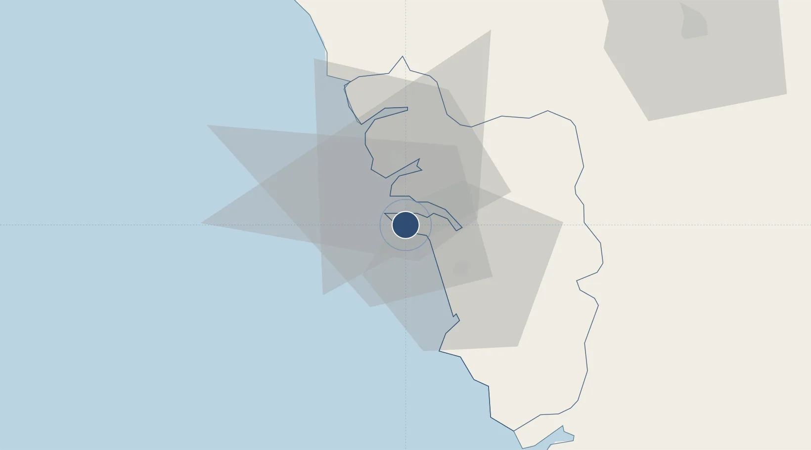
15.3801°, 73.8333°
11,345 ft
Longest runway
1
Runways
150 ft
Elevation

Runway & Layout

Goa Dabolim International Airport runway & taxiway layout
Runway & taxiway layout — OpenStreetMap (ODbL) / OurAirports

Radio Frequencies

ATIS
126.6 MHz
TWR
118.1 MHz
DABOLIM TWR
APP
119.7 MHz
DABOLIM APP
OurAirports

Navaids

GGO VOR-DME Goa 113.60 MHz
GO NDB Goa 274 kHz
OurAirports

Runways · 1

RunwayDimensions SurfaceTrue headingLit
08/26 11,345 × 148ft Asphalt 079°
OurAirports

Airport Specifications

IATA code
GOI
OurAirports
ICAO code
VOGO
OurAirports
Airport class
Large airport
OurAirports
Scheduled service
Yes
OurAirports
Runway surface
Asphalt
OurAirports
Served city
Vasco da Gama
OurAirports

Location

Location of VOGO
Natural Earth 10m (public domain) · Goa · VOGO · 15.38, 73.83GoogleOSMYandex

Nearby Logistics Neighbours

Airports
  1. 1Manohar International Airport41 km
  2. 2Sindhudurg Airport77 km
  3. 3Belagavi Airport100 km
  4. 4Hubballi Airport134 km
  5. 5Kolhapur Airport151 km
Nearest neighbours — logibook spatial index (haversine) over the source coordinates
Cities
  1. 1Marmagao (Marmugao)7 km
  2. 2Verna10 km
  3. 3Balli32 km
  4. 4Madgaon33 km
  5. 5Quest-SEZ/Belgaum90 km
Nearest neighbours — logibook spatial index (haversine) over the source coordinates
Ports
  1. 1Marmagao6 km
  2. 2Panaji14 km
  3. 3Karwar70 km
  4. 4Belekeri89 km
  5. 5Ratnagiri188 km
Nearest neighbours — logibook spatial index (haversine) over the source coordinates
Trade Zones
  1. 1K. Raheja Corp Pvt. Ltd.14 km
  2. 2QuEST Global Special Economic Zone110 km
  3. 3Keonics Shimoga256 km
  4. 4Aspen, Padubidri Special Economic Zone (Formerly Aspen)269 km
  5. 5Suzlon Infrastructure Ltd.271 km
Nearest neighbours — logibook spatial index (haversine) over the source coordinates
DatabookThe Record of Consolidated Knowledge
India beyond logistics?
Browse databook

All Sources

AirportsOurAirports
Public domain
Portsthe NGA World Port Index
Public domain (US gov)
LocationsUN/LOCODE
UN/LOCODE — free
Trade Zonesthe World Bank SEZ database
CC BY 4.0
Trade ZonesOpen Zone Map
CC BY
InfrastructureOpenStreetMap
ODbL 1.0
← India airports