Medium airport · India

Hubballi AirportVAHB
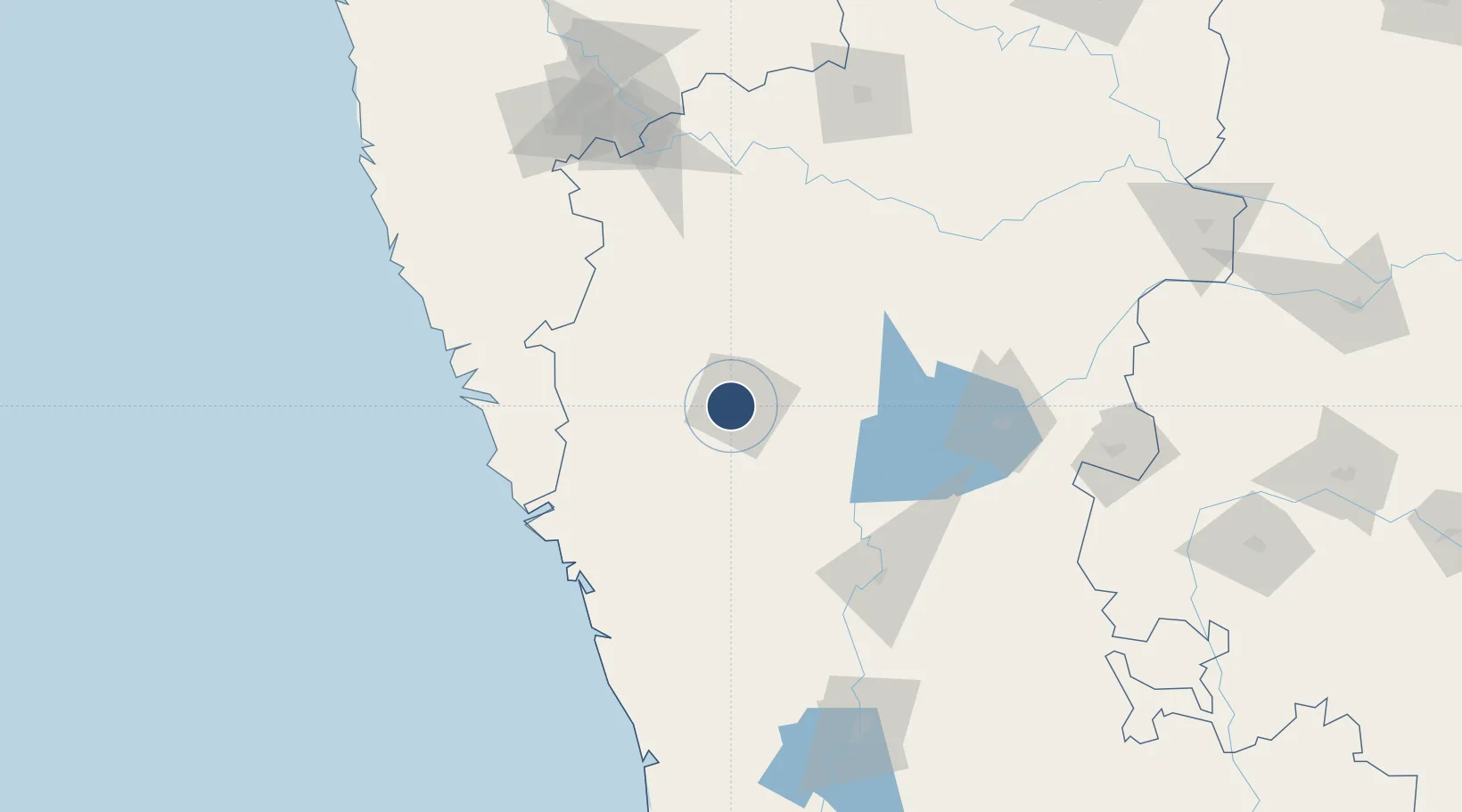
15.3611°, 75.0821°
5,479 ft
Longest runway
1
Runways
2,171 ft
Elevation

Runway & Layout

Hubballi Airport runway & taxiway layout
Runway & taxiway layout — OpenStreetMap (ODbL) / OurAirports

Radio Frequencies

TWR
122.2 MHz
OurAirports

Runways · 1

RunwayDimensions SurfaceTrue headingLit
08/26 5,479 × 100ft Asphalt 083°
OurAirports

Airport Specifications

IATA code
HBX
OurAirports
ICAO code
VOHB
OurAirports
Airport class
Medium airport
OurAirports
Scheduled service
Yes
OurAirports
Runway surface
Asphalt
OurAirports
Served city
Hubballi
OurAirports

Location

Location of VAHB
Natural Earth 10m (public domain) · Karnataka · VAHB · 15.36, 75.08GoogleOSMYandex

Nearby Logistics Neighbours

Airports
  1. 1Belagavi Airport74 km
  2. 2Goa Dabolim International Airport134 km
  3. 3Manohar International Airport138 km
  4. 4Kolhapur Airport168 km
  5. 5Rashtrakavi Kuvempu Airport177 km
Nearest neighbours — logibook spatial index (haversine) over the source coordinates
Cities
  1. 1Il Sez/Hubli5 km
  2. 2Mulgund50 km
  3. 3Quest-SEZ/Belgaum84 km
  4. 4Badami89 km
  5. 5Madgaon116 km
Nearest neighbours — logibook spatial index (haversine) over the source coordinates
Ports
  1. 1Belekeri114 km
  2. 2Karwar120 km
  3. 3Panaji137 km
  4. 4Marmagao138 km
  5. 5Ratnagiri264 km
Nearest neighbours — logibook spatial index (haversine) over the source coordinates
Trade Zones
  1. 1QuEST Global Special Economic Zone103 km
  2. 2K. Raheja Corp Pvt. Ltd.129 km
  3. 3Keonics Shimoga175 km
  4. 4Aspen, Padubidri Special Economic Zone (Formerly Aspen)249 km
  5. 5Suzlon Infrastructure Ltd.250 km
Nearest neighbours — logibook spatial index (haversine) over the source coordinates
DatabookThe Record of Consolidated Knowledge
India beyond logistics?
Browse databook

All Sources

AirportsOurAirports
Public domain
Portsthe NGA World Port Index
Public domain (US gov)
LocationsUN/LOCODE
UN/LOCODE — free
Trade Zonesthe World Bank SEZ database
CC BY 4.0
Trade ZonesOpen Zone Map
CC BY
InfrastructureOpenStreetMap
ODbL 1.0
← India airports