UN/LOCODE hub · India
INDWR

Il Sez/Hubli

15.3333°, 75.1167°
1
Transport functions

Transport Functions

Multimodal
UN/LOCODE

Hub Profile

Region
KA
GeoNames

Location

Location of INDWR
Natural Earth 10m (public domain) · KA · INDWR · 15.33, 75.12GoogleOSMYandex

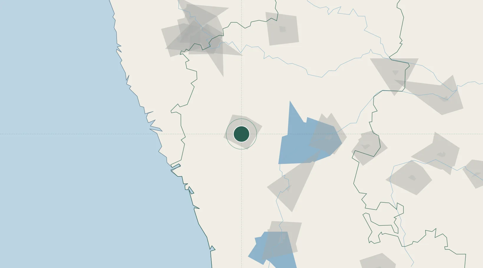
Nearby Logistics Neighbours

Cities
  1. 1Mulgund46 km
  2. 2Quest-SEZ/Belgaum89 km
  3. 3Badami89 km
  4. 4Madgaon119 km
  5. 5Balli120 km
Nearest neighbours — logibook spatial index (haversine) over the source coordinates
Ports
  1. 1Belekeri115 km
  2. 2Karwar122 km
  3. 3Panaji141 km
  4. 4Marmagao142 km
  5. 5Ratnagiri268 km
Nearest neighbours — logibook spatial index (haversine) over the source coordinates
Airports
  1. 1Hubballi Airport5 km
  2. 2Belagavi Airport79 km
  3. 3Goa Dabolim International Airport138 km
  4. 4Manohar International Airport142 km
  5. 5Kolhapur Airport172 km
Nearest neighbours — logibook spatial index (haversine) over the source coordinates
Trade Zones
  1. 1QuEST Global Special Economic Zone108 km
  2. 2K. Raheja Corp Pvt. Ltd.133 km
  3. 3Keonics Shimoga171 km
  4. 4Aspen, Padubidri Special Economic Zone (Formerly Aspen)247 km
  5. 5Suzlon Infrastructure Ltd.248 km
Nearest neighbours — logibook spatial index (haversine) over the source coordinates
DatabookThe Record of Consolidated Knowledge
India beyond logistics?
Browse databook

All Sources

LocationsUN/LOCODE
UN/LOCODE — free
Portsthe NGA World Port Index
Public domain (US gov)
AirportsOurAirports
Public domain
Trade Zonesthe World Bank SEZ database
CC BY 4.0
Trade ZonesOpen Zone Map
CC BY
← India locations