Specialized Zone · India

QuEST Global Special Economic Zone Active
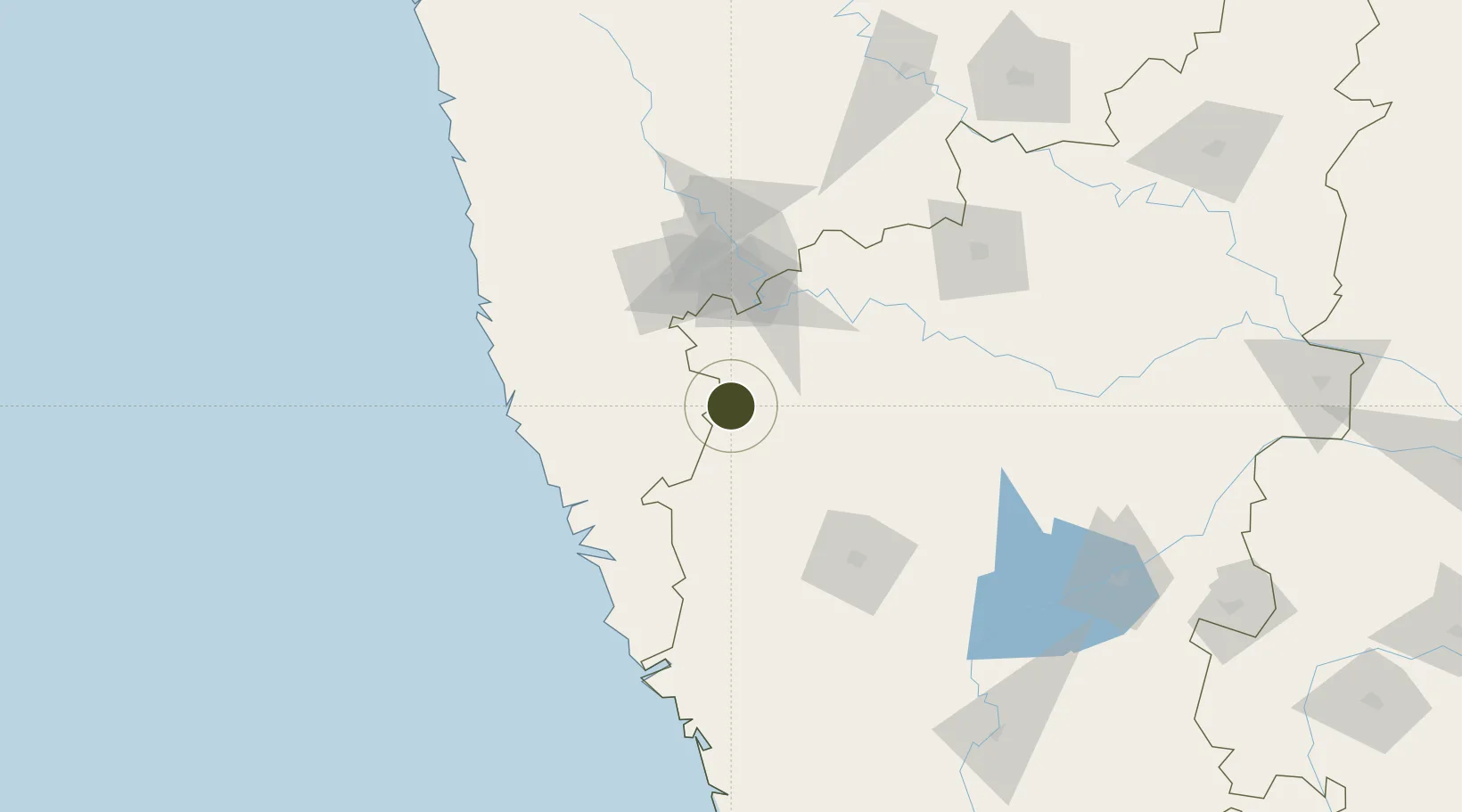
16.1124°, 74.5224°
121 ha
Zone area
101.7 km
Nearest port
30.0 km
Nearest airport

Gateway access

Nearest neighbours — logibook spatial index (haversine) over the source coordinates

Zone profile

Zone type
Specialized Zone
Open Zone Map
Specialization
Aerospace
Open Zone Map
Region
Karnataka
Open Zone Map
Status
Active
Open Zone Map
Management
Private
Open Zone Map
Operator
Aequs Private Limited
Open Zone Map
Legal framework
Certificate IN-KA88308918854181Q
Open Zone Map

Location

Location of ozm-2152
Natural Earth 10m (public domain) · Karnataka · ozm-2152 · 16.11, 74.52GoogleOSMYandex

Nearby Logistics Neighbours

Ports
  1. 1Panaji102 km
  2. 2Marmagao110 km
  3. 3Karwar151 km
  4. 4Belekeri159 km
  5. 5Ratnagiri164 km
Nearest neighbours — logibook spatial index (haversine) over the source coordinates
Airports
  1. 1Belagavi Airport30 km
  2. 2Kolhapur Airport66 km
  3. 3Manohar International Airport82 km
  4. 4Hubballi Airport103 km
  5. 5Sindhudurg Airport107 km
Nearest neighbours — logibook spatial index (haversine) over the source coordinates
Cities
  1. 1Quest-SEZ/Belgaum27 km
  2. 2Kagal57 km
  3. 3Verna107 km
  4. 4Il Sez/Hubli108 km
  5. 5Marmagao (Marmugao)111 km
Nearest neighbours — logibook spatial index (haversine) over the source coordinates
Trade Zones
  1. 1K. Raheja Corp Pvt. Ltd.97 km
  2. 2Serum Bio Pharma Park SEZ273 km
  3. 3M s. Parsvnath SEZ Limited274 km
  4. 4Magarpatta Township Development And Construction Company Ltd.275 km
  5. 5M s. Khed Economic Infrastructure Private Limited277 km
Nearest neighbours — logibook spatial index (haversine) over the source coordinates
DatabookThe Record of Consolidated Knowledge
India beyond logistics?
Browse databook

All Sources

Trade ZonesOpen Zone Map
CC BY
Portsthe NGA World Port Index
Public domain (US gov)
AirportsOurAirports
Public domain
LocationsUN/LOCODE
UN/LOCODE — free
← India trade zones