Specialized Zone · India

K. Raheja Corp Pvt. Ltd. Active
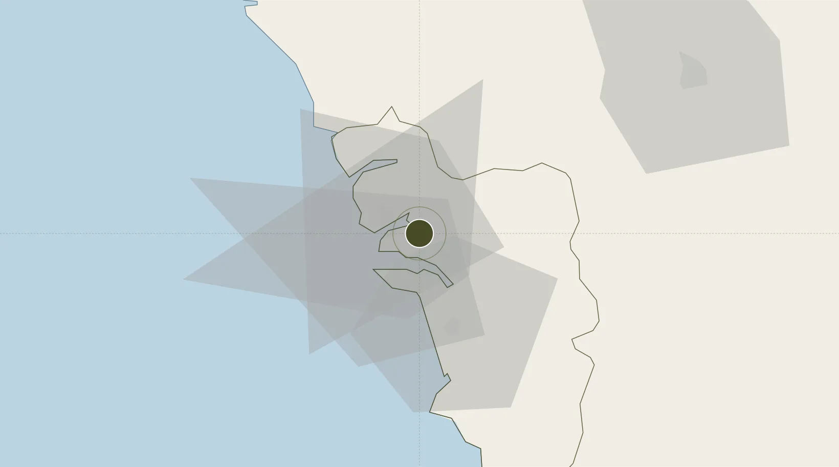
15.4906°, 73.8899°
106 ha
Zone area
7.9 km
Nearest port
13.7 km
Nearest airport

Gateway access

Nearest neighbours — logibook spatial index (haversine) over the source coordinates

Zone profile

Zone type
Specialized Zone
Open Zone Map
Specialization
IT
Open Zone Map
Region
Goa
Open Zone Map
Status
Active
Open Zone Map
Management
Private
Open Zone Map
Operator
K Raheja Corp Pvt. Ltd.
Open Zone Map
Legal framework
Government of Goa’s Policy on SEZ, Goa SEZ Policy, 2006
Open Zone Map

Location

Location of ozm-2265
Natural Earth 10m (public domain) · Goa · ozm-2265 · 15.49, 73.89GoogleOSMYandex

Nearby Logistics Neighbours

Ports
  1. 1Panaji8 km
  2. 2Marmagao13 km
  3. 3Karwar79 km
  4. 4Belekeri97 km
  5. 5Ratnagiri178 km
Nearest neighbours — logibook spatial index (haversine) over the source coordinates
Airports
  1. 1Goa Dabolim International Airport14 km
  2. 2Manohar International Airport28 km
  3. 3Sindhudurg Airport69 km
  4. 4Belagavi Airport88 km
  5. 5Hubballi Airport129 km
Nearest neighbours — logibook spatial index (haversine) over the source coordinates
Cities
  1. 1Verna16 km
  2. 2Marmagao (Marmugao)18 km
  3. 3Balli40 km
  4. 4Madgaon41 km
  5. 5Quest-SEZ/Belgaum78 km
Nearest neighbours — logibook spatial index (haversine) over the source coordinates
Trade Zones
  1. 1QuEST Global Special Economic Zone97 km
  2. 2Keonics Shimoga260 km
  3. 3Aspen, Padubidri Special Economic Zone (Formerly Aspen)278 km
  4. 4Suzlon Infrastructure Ltd.280 km
  5. 5Infosys Ltd. SEZ (Mangaluru)305 km
Nearest neighbours — logibook spatial index (haversine) over the source coordinates
DatabookThe Record of Consolidated Knowledge
India beyond logistics?
Browse databook

All Sources

Trade ZonesOpen Zone Map
CC BY
Portsthe NGA World Port Index
Public domain (US gov)
AirportsOurAirports
Public domain
LocationsUN/LOCODE
UN/LOCODE — free
← India trade zones