Transport Functions
Multimodal
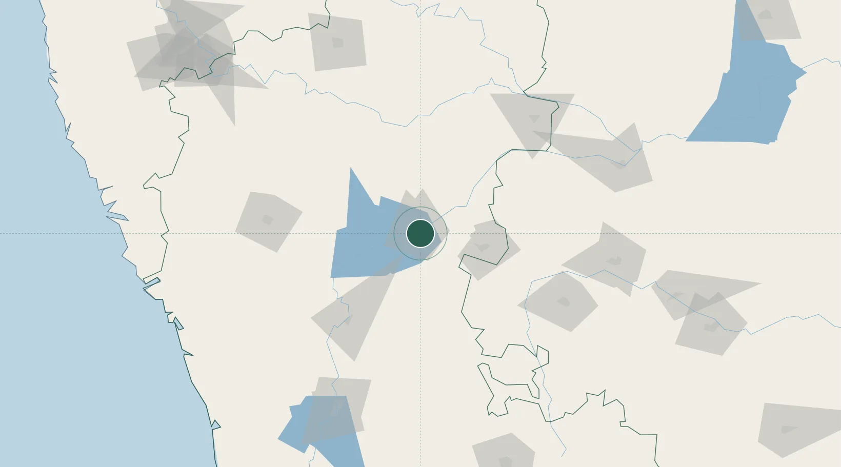
Hub Profile
Place type
Populated place
Region
Karnataka
Time zone
Asia/Kolkata
Elevation
540 m
Location
Nearby Logistics Neighbours
Cities
- 1Toranagallu31 km
- 2Mulgund93 km
- 3Badami105 km
- 4Il Sez/Hubli138 km
- 5Anantapur144 km
Ports
- 1Belekeri238 km
- 2Karwar250 km
- 3Panaji278 km
- 4Marmagao280 km
- 5New Mangalore312 km
Airports
- 1Bellary Airport53 km
- 2Hubballi Airport142 km
- 3Rashtrakavi Kuvempu Airport178 km
- 4Sri Sathya Sai Airport195 km
- 5Kurnool Airport196 km
Trade Zones
- 1Indus Gene Expressions Limited160 km
- 2Keonics Shimoga174 km
- 3Raagamayuri Builders Pvt.Ltd.182 km
- 4QuEST Global Special Economic Zone222 km
- 5Apiic Pharma SEZ - Jedcherla250 km
DatabookThe Record of Consolidated Knowledge
India beyond logistics?