Seaport · India
MarmagaoINMRM
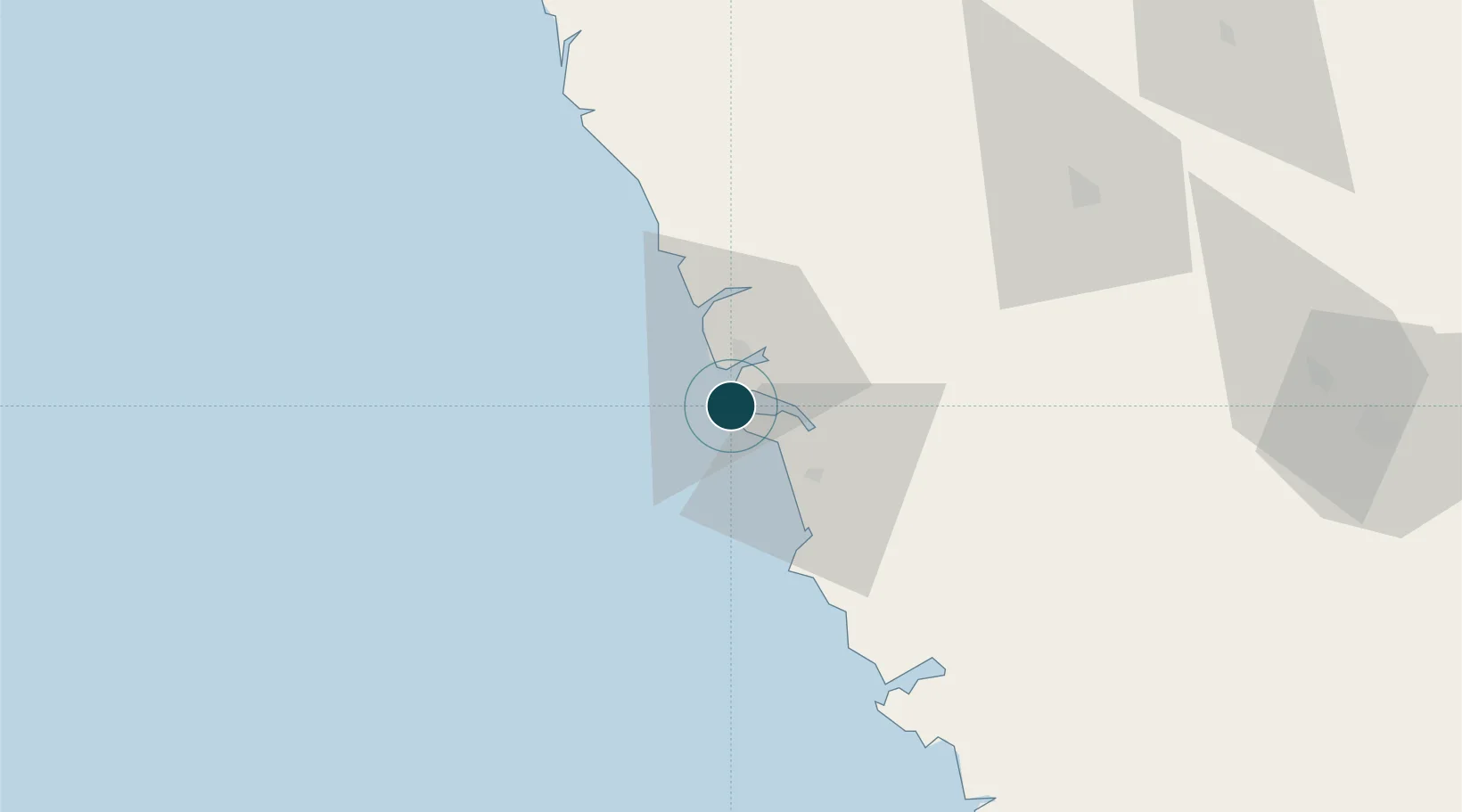
15.4175°, 73.7950°
14.4 m
Channel depth
1
Container terminals
24.0
Port liner connectivity
Channel & Berth Profile
Pilotage, Tugs & Services
Pilotage compulsoryYES
Pilotage availableYES
Pilotage advisableYES
Tug assistanceYES
Shore powerYES
Potable waterYES
Diesel bunkersYES
MedicalYES
Garbage disposalYES
Facilities & Capabilities
ContainerYES
Ro-RoNO
Liquid bulkYES
Dry bulkYES
Oil terminalNO
Break bulkYES
Dry dockNO
RepairsNO
BunkeringYES
Rail linkYES
Dangerous cargo—
ISPS security—
Harbour Specifications
Harbour size
Medium
Harbour type
Coastal (Breakwater)
Shelter
Good
Water body
Arabian Sea; Indian Ocean
Tidal range
2.3 m
Overhead limit
No
Pilotage
Yes
Liner Connectivity
24
PLSCI
Port Liner Shipping Connectivity Index for Marmagao, as published by UNCTAD for the latest available quarter. Higher values indicate stronger scheduled liner-shipping integration.
Shown relative to the highest per-port PLSCI in the dataset (1,657.9).
Location
Container Terminals · 1
MORMUGAO PORT TRUST (MPT)
MPT MORMUGAO PORT TRUST, GOA
Nearby Logistics Neighbours
Ports
- 1Panaji10 km
- 2Karwar75 km
- 3Belekeri95 km
- 4Ratnagiri183 km
- 5Jaigarh Bay218 km
Cities
- 1Verna15 km
- 2Balli38 km
- 3Madgaon39 km
- 4Quest-SEZ/Belgaum91 km
- 5Tadri117 km
Airports
- 1Goa Dabolim International Airport6 km
- 2Manohar International Airport37 km
- 3Sindhudurg Airport71 km
- 4Belagavi Airport101 km
- 5Hubballi Airport138 km
Trade Zones
DatabookThe Record of Consolidated Knowledge
India beyond logistics?