Transport Functions
Multimodal
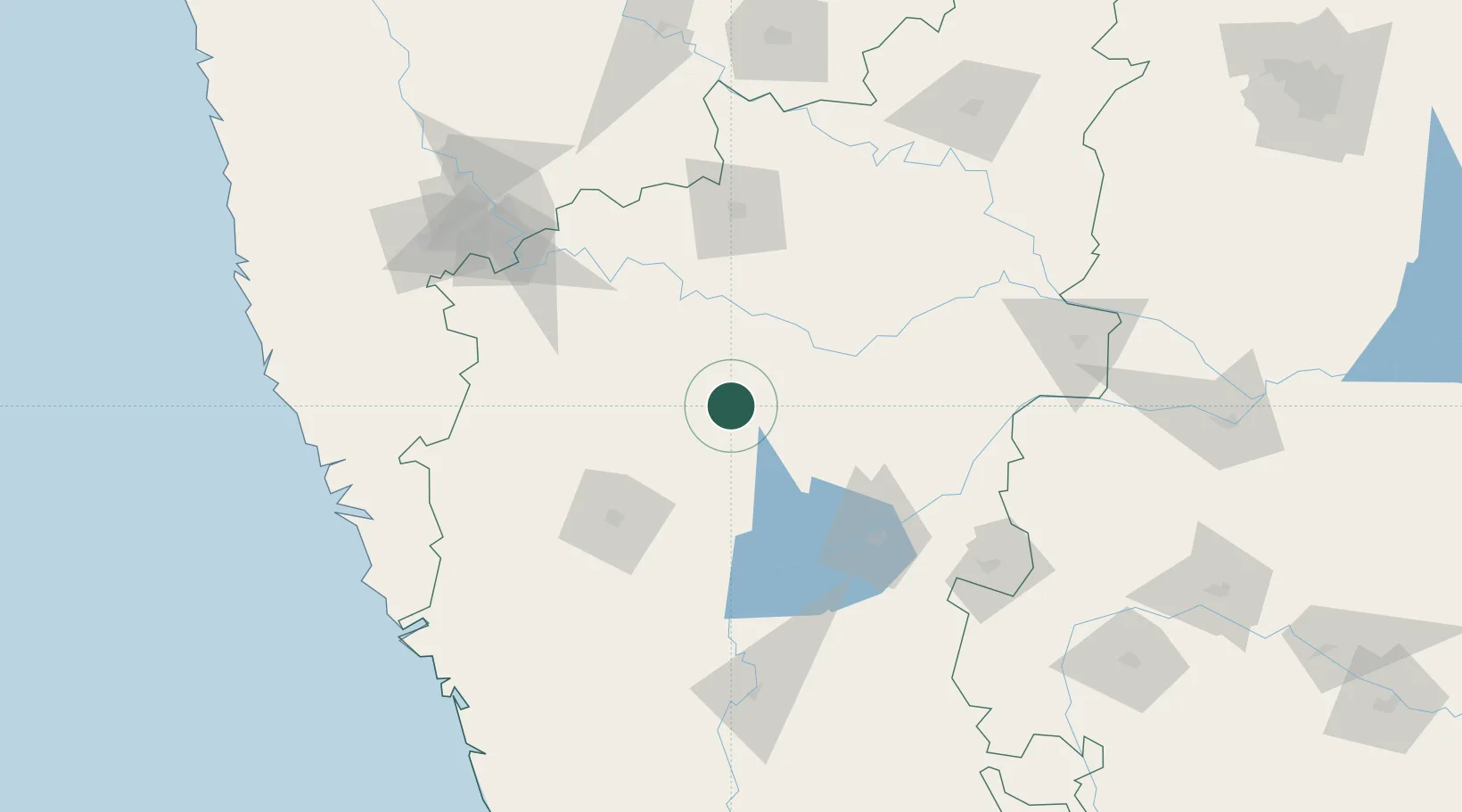
Hub Profile
Place type
Populated place
Region
Karnataka
Population
30,943
Time zone
Asia/Kolkata
Elevation
560 m
Location
Nearby Logistics Neighbours
Cities
- 1Mulgund76 km
- 2Il Sez/Hubli89 km
- 3Bijapur102 km
- 4Hospet105 km
- 5Quest-SEZ/Belgaum127 km
Airports
- 1Hubballi Airport89 km
- 2Belagavi Airport114 km
- 3Bellary Airport153 km
- 4Kolhapur Airport170 km
- 5Solapur Airport192 km
Trade Zones
DatabookThe Record of Consolidated Knowledge
India beyond logistics?